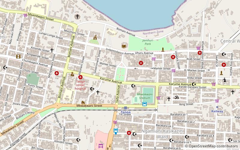
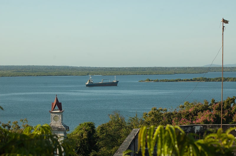
Tanga District, Tanga
Map
Facts and practical information
Tanga District is one of the ten districts of the Tanga Region of Tanzania. The district is bordered to the north by Mkinga District and to the south by Muheza District. The administrative capital of the district is Tanga city. ()
Address
Tanga
ContactAdd
Social media
Add
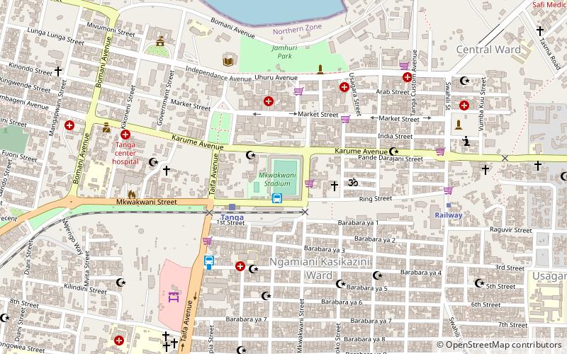
Getting there by public transportation
Public transportation stops near this location
- Bus
- Train
 Bus
Bus
- Calculate routeTanga 5 min walk
- Calculate routeRailway 13 min walk
- Calculate routeScandanvia Express 5 min walk
- Calculate routeTawakal Ticket Office 7 min walk
- Calculate routeTahmeed Bus Station 13 min walk
- Calculate routeTanga City Bus Terminal 15 min walk
Day trips


Frequently Asked Questions (FAQ)
How to get to Tanga District by public transport?
The nearest stations to Tanga District:
Train
Bus
Train
- Tanga (5 min walk)
- Railway (13 min walk)
Bus
- Scandanvia Express (5 min walk)
- Tawakal Ticket Office (7 min walk)