Phu Ruea, Phu Ruea National Park
Map

Map

Facts and practical information
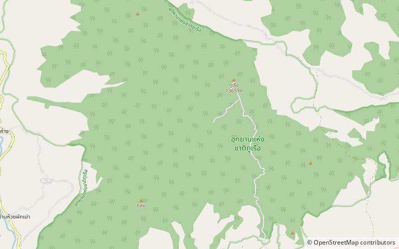
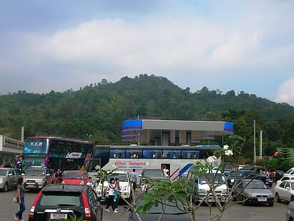
Phu Ruea, is a 1365 m high mountain in Loei Province, Thailand. It is in Phu Ruea District. This mountain is part of the Phetchabun Mountains, a massif forming a natural boundary between northern Thailand and Isan. The peak rises seven kilometers north of Highway 203, between Loei town and Phetchabun. The name of the mountain comes from the fact that it looks like an upside down boat from certain angles. ()
Local name: ภูเรือElevation: 4478 ftCoordinates: 17°30'0"N, 101°19'59"E
Address
Phu Ruea National Park
ContactAdd
Social media
Add
