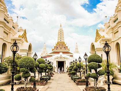
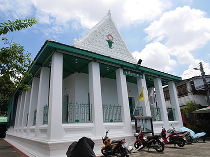
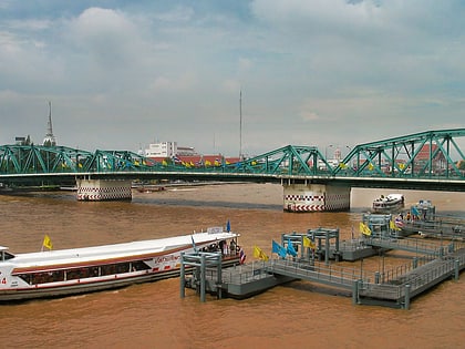
Thonburi, Bangkok
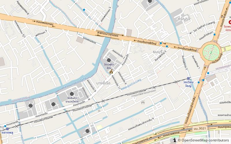
Map
Facts and practical information
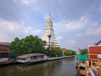
Thonburi is an area of modern Bangkok. During the era of the Kingdom of Ayutthaya, its location on the right bank at the mouth of the Chao Phraya River had made it an important garrison town, which is reflected in its name: thon a loanword from Pali dhána wealth and buri, from púra fortress. The full formal name was Thon Buri Si Mahasamut. For the informal name, see the history of Bangkok under Ayutthaya. ()
Address
ธนบุรี (thnburi)Bangkok
ContactAdd
Social media
Add
Day trips
Thonburi – popular in the area (distance from the attraction)
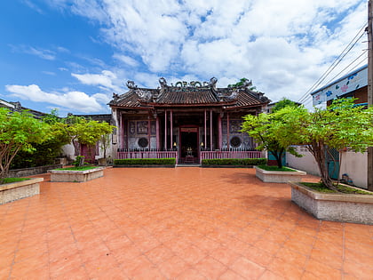
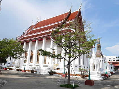
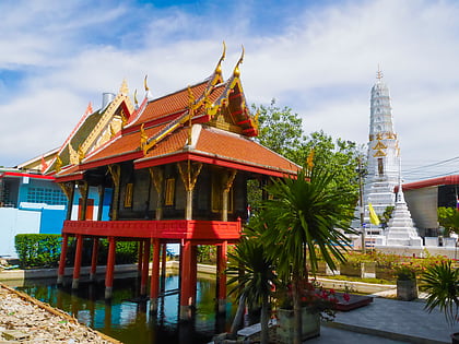
Nearby attractions include: Wat Paknam Bhasicharoen, Kian Un Keng Shrine, Wat Intharam, Wat Apson Sawan.
Frequently Asked Questions (FAQ)
Which popular attractions are close to Thonburi?
Nearby attractions include Wongwian Yai, Bangkok (6 min walk), Wat Intharam, Bangkok (7 min walk), Hiran Ruchi, Bangkok (12 min walk), Bangkok Yai District, Bangkok (17 min walk).
How to get to Thonburi by public transport?
The nearest stations to Thonburi:
Train
Metro
Bus
Ferry
Train
- Wongwian Yai (10 min walk)
- Talat Phlu (16 min walk)
Metro
- Pho Nimit • Lines: BTS Silom (10 min walk)
- Wongwian Yai • Lines: BTS Silom (18 min walk)
Bus
- Ratchapruek (20 min walk)
- ท่าดินแดง • Lines: 20 (36 min walk)
Ferry
- Yodpiman (32 min walk)
- Rajinee • Lines: เรือประจำทาง (ไม่มีธง), เส้นทางเดินเรือโดยสารฯ คลองบางกอ (33 min walk)
