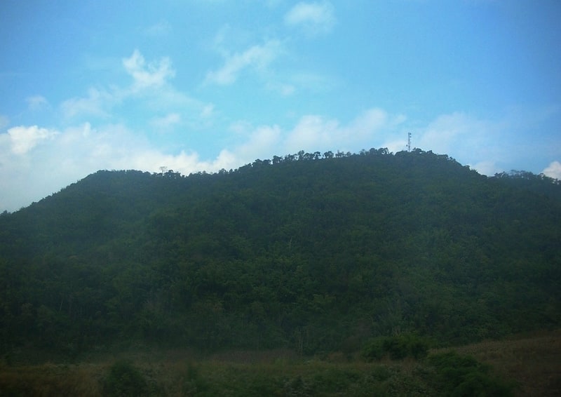
Phu Thap Boek, Phu Hin Rong Kla National Park
Gallery (1)
Map
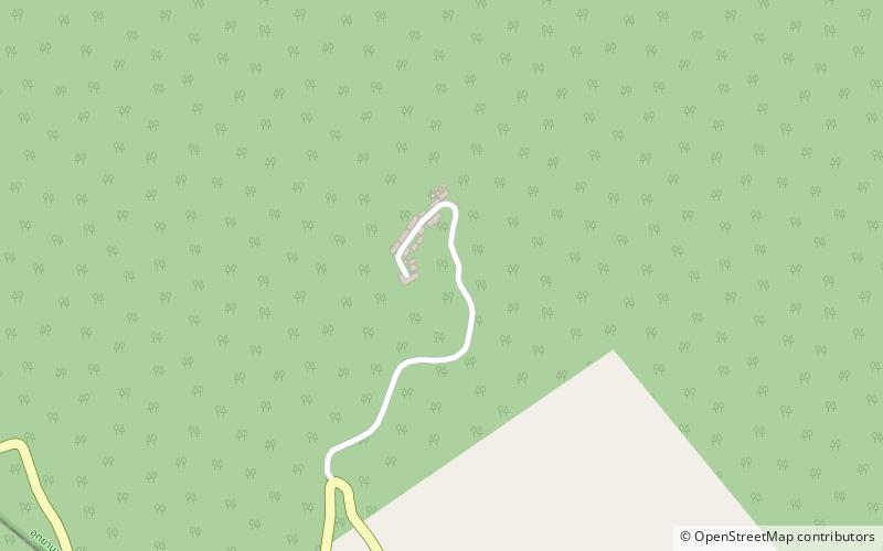
Map
Facts and practical information
Phu Thap Boek is a 1,768 m high mountain in Phetchabun Province, Thailand near the border with Loei Province. It is in the Lom Kao District. ()
Local name: ภูทับเบิกElevation: 5801 ftCoordinates: 16°54'23"N, 101°5'13"E
Address
Phu Hin Rong Kla National Park
ContactAdd
Social media
Add