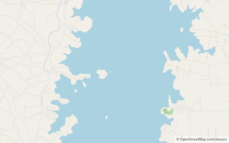
Sirindhorn Reservoir, Chong Mek
Map

Map

Facts and practical information
The Sirindhorn Dam is in Sirindhorn District, Ubon Ratchatani, Thailand. It impounds the Lam Dom Noi River, and its reservoir is the province's largest water resource. The dam was commissioned in 1971 to serve as a hydropower facility as well as to supply irrigation water. The dam was named after Princess Royal Sirindhorn. All of the electricity generated by the dam is destined for domestic markets. The dam was constructed and is owned and operated by the Electricity Generating Authority of Thailand and is located in the Mekong River Basin, just upstream from the controversial Pak Mun Dam. ()
Alternative names: Opened: 1971 (55 years ago)Length: 3084 ftHeight: 138 ftReservoir area: 111.2 mi²Reservoir depth: 17 ftElevation: 463 ft a.s.l.Coordinates: 15°4'60"N, 105°22'44"E
Address
Chong Mek
ContactAdd
Social media
Add
