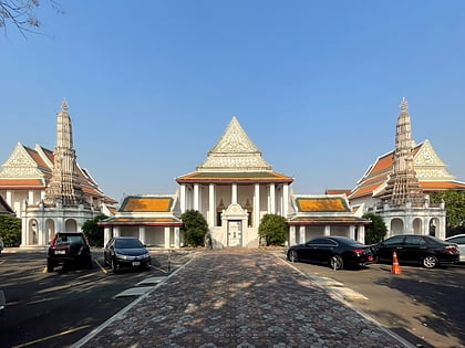
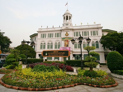
Ratchadamnoen Avenue, Bangkok
Map
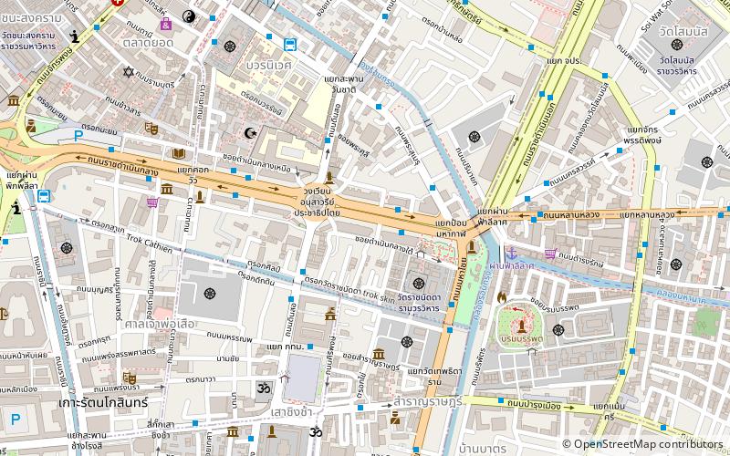
Map

Facts and practical information
Ratchadamnoen Avenue is a historic road in the Phra Nakhon and Dusit Districts of Bangkok, Thailand. Ratchadamnoen Avenue may be the most politically charged thoroughfare in the capital, as its history captures the ebb and flow of Thai ideological struggles over Thai governance in the 20th and 21st centuries. ()
Address
กรุงรัตนโกสินทร์ (พระนคร)Bangkok
ContactAdd
Social media
Add
Day trips
Ratchadamnoen Avenue – popular in the area (distance from the attraction)
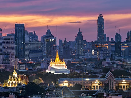
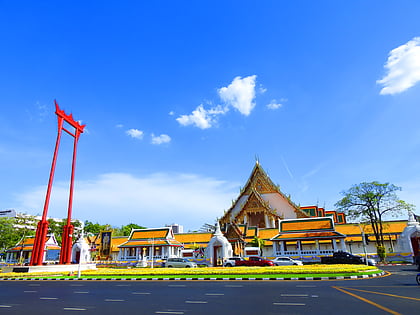
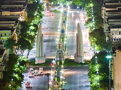
Nearby attractions include: Wat Saket, Khaosan Road, Giant Swing, Democracy Monument.
Frequently Asked Questions (FAQ)
Which popular attractions are close to Ratchadamnoen Avenue?
Nearby attractions include Democracy Monument, Bangkok (3 min walk), Dinso Road, Bangkok (4 min walk), The Queen's Gallery, Bangkok (4 min walk), Wat Ratchanatdaram, Bangkok (5 min walk).
How to get to Ratchadamnoen Avenue by public transport?
The nearest stations to Ratchadamnoen Avenue:
Bus
Ferry
Metro
Train
Bus
- Rattanakosin Exhibition Hall • Lines: 2, 511, S1 (2 min walk)
- 70,157,503,509 • Lines: 2, 511, S1 (2 min walk)
Ferry
- Phanfa Leelard • Lines: Golden Mount (6 min walk)
- ราชดำเนินนอก (17 min walk)
Metro
- Sam Yot • Lines: MRT Blue (16 min walk)
- Sanam Chai • Lines: MRT Blue (26 min walk)
Train
- Bangkok (39 min walk)

