Doi Mae Tho, Khun Chae National Park
Map
Facts and practical information
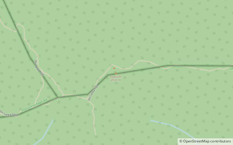
Doi Mae Tho, also known as Doi Langka Luang or Doi Lang Ka, is a mountain in Thailand, part of the Khun Tan Range. ()
Elevation: 6663 ftCoordinates: 19°0'6"N, 99°24'20"E
Address
Khun Chae National Park
ContactAdd
Social media
Add