Khun Nan National Park
Map

Map

Facts and practical information
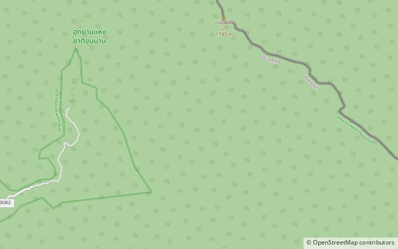
Khun Nan National Park is a protected area in the western side of the Luang Prabang Range in the Thai/Lao border area, on the Thai side of the ridge. It is named after Khun Nan subdistrict of Chaloem Phra Kiat District of Nan Province and includes parts located in Bo Kluea District. The park is located north of the Doi Phu Kha National Park and was established in 2009. ()
Local name: อุทยานแห่งชาติขุนน่าน Established: 2009 (17 years ago)Area: 95.12 mi²Coordinates: 19°5'27"N, 101°14'53"E
Location
Nan
ContactAdd
Social media
Add
Day trips
Khun Nan National Park – popular in the area (distance from the attraction)
Nearby attractions include: Doi Phi Pan Nam.

