Ko Adang, Tarutao National Park
Map

Map

Facts and practical information
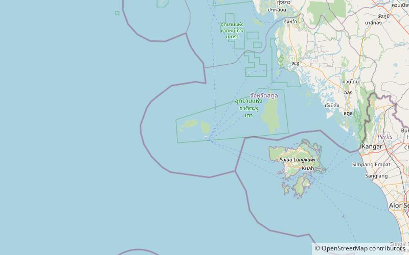
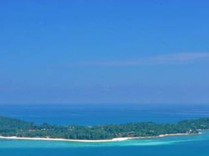
Ko Adang is the second biggest island within Tarutao National Marine Park, in Thailand, very close to Ko Lipe island. The island is 6 km long and 5 km wide. The highest point on the island is 690 m. ()
Local name: เกาะอาดังCoordinates: 6°32'25"N, 99°17'40"E
Address
Tarutao National Park
ContactAdd
Social media
Add
Day trips
Ko Adang – popular in the area (distance from the attraction)
Nearby attractions include: Bila Beach Cafe.

