Ko Kret, Bangkok
Map
Gallery
Facts and practical information
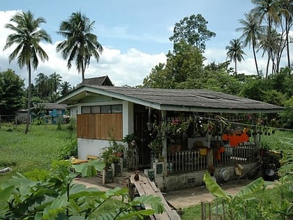
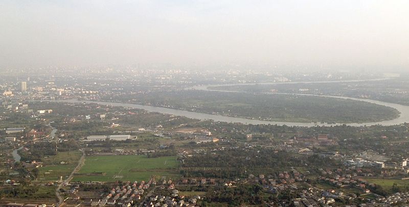
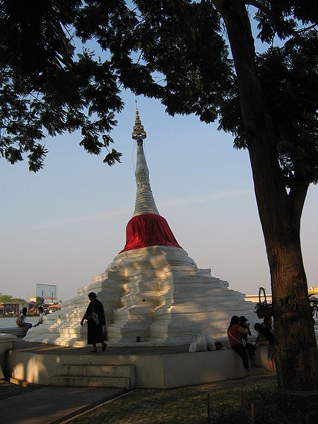
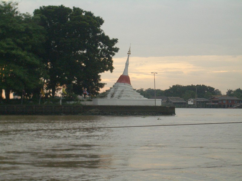
Ko Kret is a small island in the Chao Phraya River in Nonthaburi Province, Thailand. It is around 3 km long and 3 km wide with an area of over 4.2 square kilometers. It has seven main villages, the largest and most populous being Ban Mon.The island is best known for Thai-Mon people who make pottery for a living. The island is served by ferries. ()
Address
Bangkok
ContactAdd
Social media
Add
Day trips
Ko Kret – popular in the area (distance from the attraction)
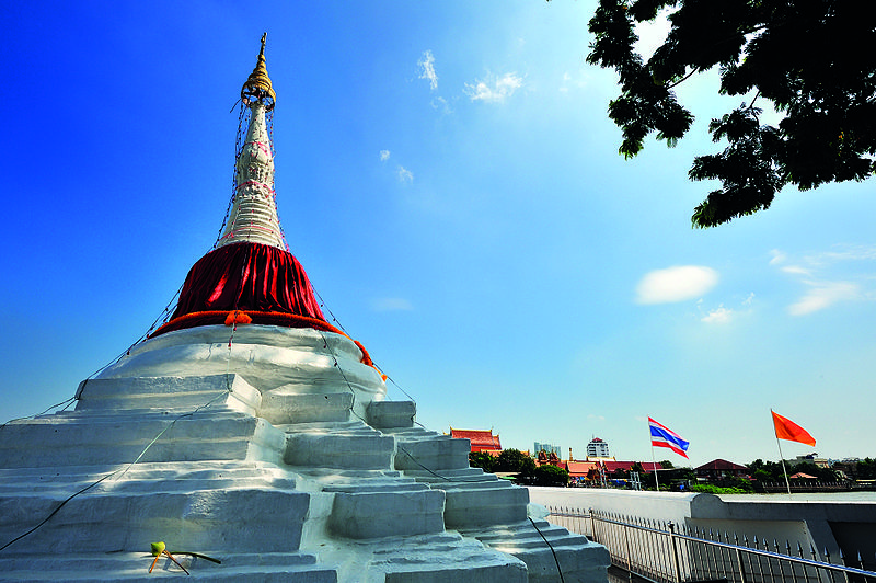
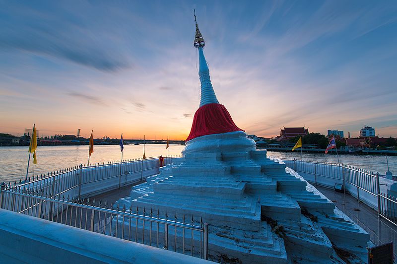
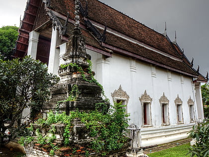
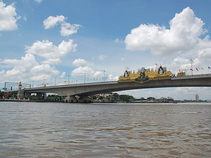
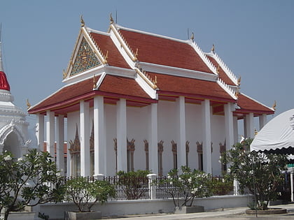
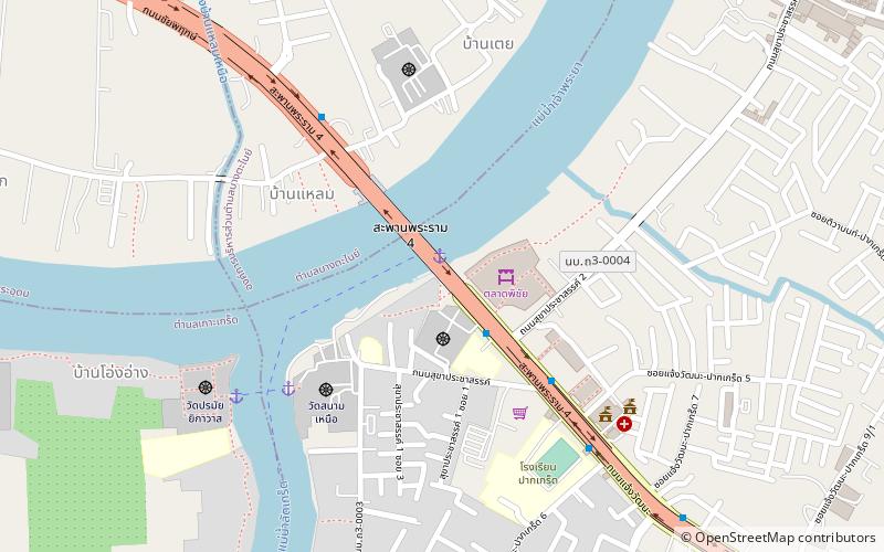
Nearby attractions include: Wat Saeng Siritham, Rama IV Bridge, Wat Paramaiyikawat, Pak Kret Pier.
Frequently Asked Questions (FAQ)
Which popular attractions are close to Ko Kret?
Nearby attractions include Wat Paramaiyikawat, Pak Kret (14 min walk), Rama IV Bridge, Pak Kret (23 min walk), Wat Saeng Siritham, Pak Kret (23 min walk), Pak Kret Pier, Pak Kret (23 min walk).
How to get to Ko Kret by public transport?
The nearest stations to Ko Kret:
Ferry
Bus
Ferry
- Wat Pora Mai Yi Ka Wat Ferry Pier (16 min walk)
- Wat Sanam Nuea Ferry Pier (17 min walk)
Bus
- Government Savings Bank Pak Kret Branch • Lines: 32 (27 min walk)
- Opposite Bang Phlap Subdistrict Administrative Organization • Lines: 1053 (35 min walk)
