Lan Sang National Park
Map

Map

Facts and practical information
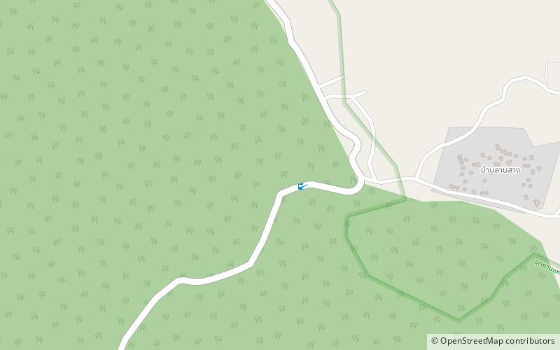
Lan Sang National Park is in the Dawna Range, Tak Province, northern Thailand. Established in 1979, it is an IUCN Category II protected area measuring 104 square kilometres. On the Tak-Mae Sot Highway in Mueang Tak District, it became the country's 15th national park. ()
Local name: อุทยานแห่งชาติลานสาง Established: 1979 (47 years ago)Area: 40.15 mi²Coordinates: 16°46'60"N, 99°1'0"E
Location
Tak
ContactAdd
Social media
Add
