Sai Thong National Park

Facts and practical information
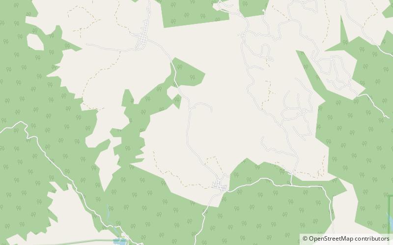
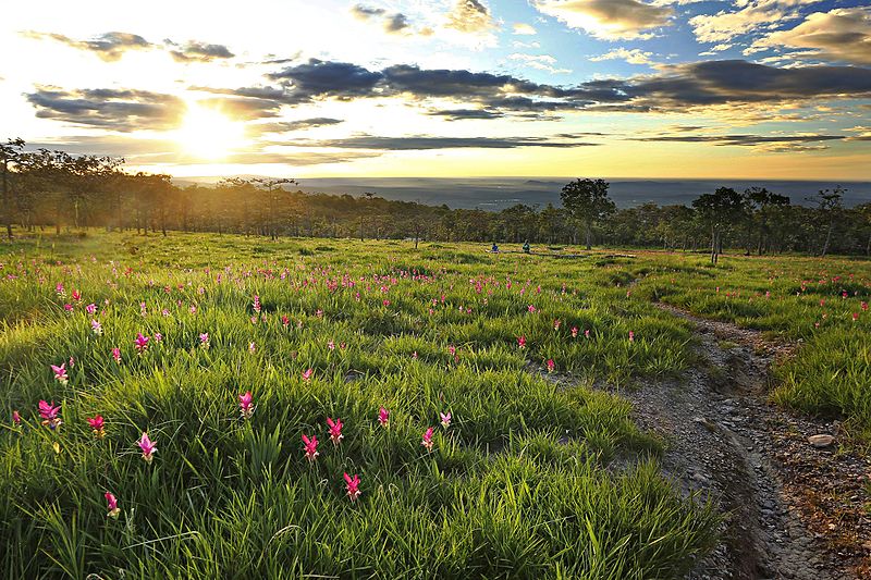
Sai Thong National Park is a national park in Thailand's Chaiyaphum Province. This mountainous park features waterfalls, scenic viewpoints, and a seasonal flower field. ()
Chaiyaphum
Best Ways to Experience the Park
Wildlife
AnimalsSee what popular animal species you can meet in this location.
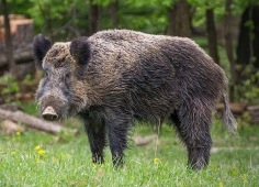
Wild Boar, Pig, Hog
Wild boars, also known as wild swine or wild pigs, are fascinating creatures found across many parts of the world, including Europe, Asia, and North and South America. Due to human activities, they have spread extensively, making them one of the most adaptable...
Mammals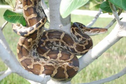
Indian Python
The Python molurus, commonly known as the Indian python, is a large, nonvenomous snake native to the Indian subcontinent and Southeast Asia. It is also referred to as the black-tailed python, Indian rock python, or Asian rock python.
Reptiles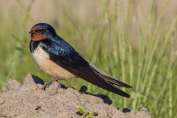
Barn swallow
The barn swallow is a bird that can be found all over the world, from Europe and Asia to Africa and the Americas. You can easily identify it by its striking blue upper feathers and deeply forked tail. Despite some declines in local populations, the barn swallow is not...
Birds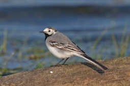
White wagtail
The white wagtail is an enchanting small bird from the Motacillidae family, commonly observed in Europe, Asia, and parts of North Africa. One of its subspecies, the pied wagtail, is particularly prevalent in Ireland and Great Britain.
Birds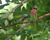
Red-breasted parakeet
The red-breasted parakeet, also known as the moustached parakeet, is a bird species renowned for its distinctive red chest patch. This bird exhibits several geographical variations and inhabits a range of regions. Most subspecies reside on small islands in Indonesia...
Birds