Wat Saen Fang, Chiang Mai
Map
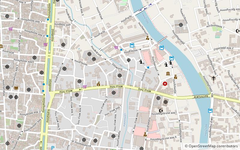
Map

Facts and practical information
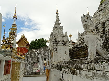
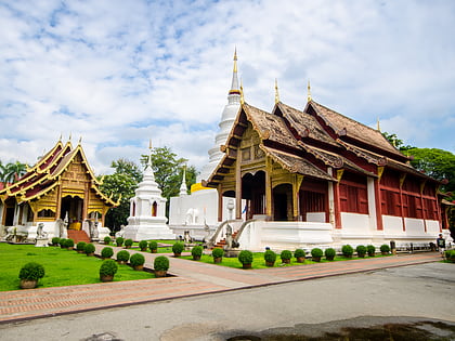
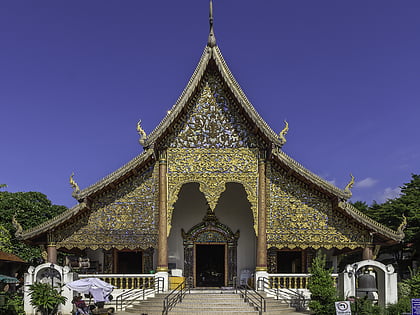
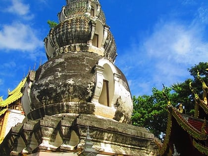
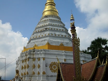
Wat Saen Fang is a Buddhist temple in Chiang Mai, Thailand. The temple was founded in the 1500s, but all extant structures date to the 1800s or later. The viharn of Wat Saen Fang previously served as the royal residence of Kawirolot in the 1860s, and was converted into a viharn by his successor, Inthawichayanon in 1878. The temple is also noted for its Burmese-style chedi, which is gilded with glass mosaic. The ubosot, which is topped with kinnara, is a fusion of Burmese and Lan Na styles. ()
Established: 1500 (526 years ago)Coordinates: 18°47'21"N, 98°59'55"E
Address
Chiang Mai
ContactAdd
Social media
Add
Day trips
Wat Saen Fang – popular in the area (distance from the attraction)
Nearby attractions include: Wat Phra Singh, Wat Chedi Luang, Wat Chiang Man, Chiang Mai Night Bazaar.
Frequently Asked Questions (FAQ)
Which popular attractions are close to Wat Saen Fang?
Nearby attractions include Thapae East - Venue for the Creative Arts, Chiang Mai (2 min walk), Wat Buppharam, Chiang Mai (3 min walk), Wat Bupparam, Chiang Mai (3 min walk), Wat Mahawan, Chiang Mai (6 min walk).
How to get to Wat Saen Fang by public transport?
The nearest stations to Wat Saen Fang:
Bus
Bus
- คิวรถ หนองตอง (4 min walk)
- Chang Phuak Bus Station (28 min walk)
