Watthana District, Bangkok
Map
Gallery
Facts and practical information
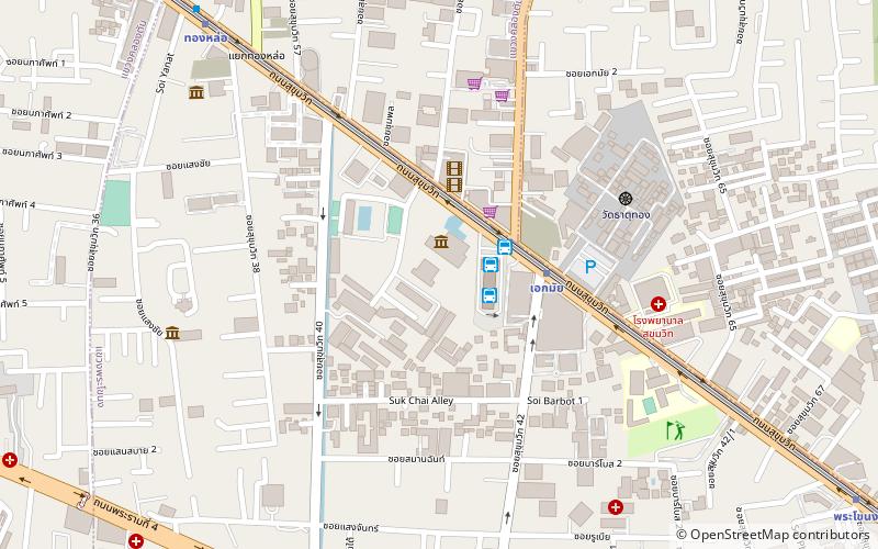
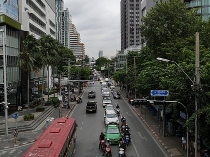
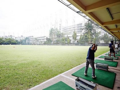
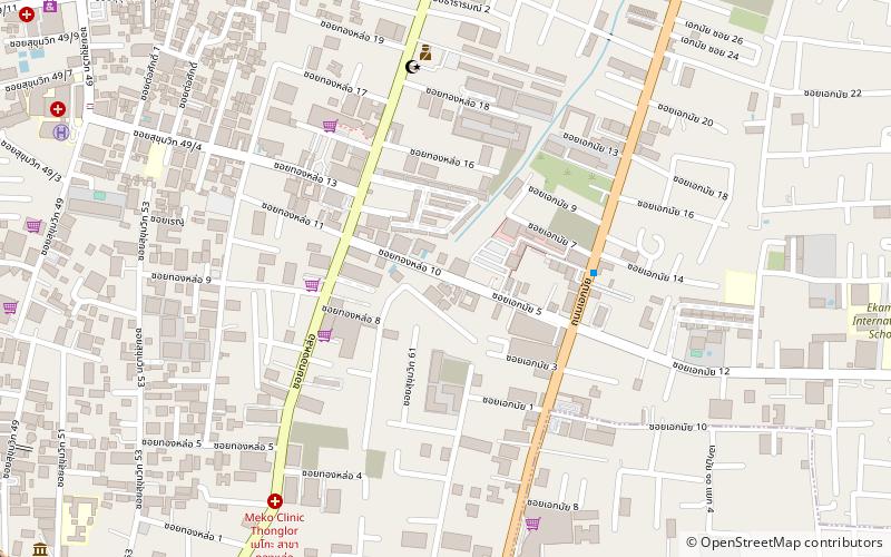
Watthana or Vadhana is one of the 50 districts of Bangkok, Thailand. Neighbouring districts are : Ratchathewi, Huai Khwang, Suan Luang, Phra Khanong, Khlong Toei, and Pathum Wan. ()
Address
ลุมพินี (วัฒนา)Bangkok
ContactAdd
Social media
Add
Day trips
Watthana District – popular in the area (distance from the attraction)
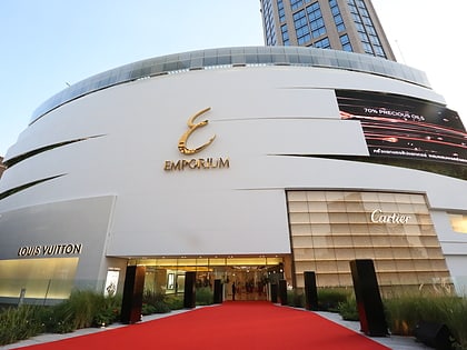
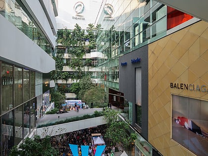
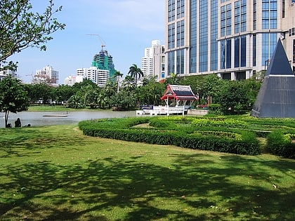
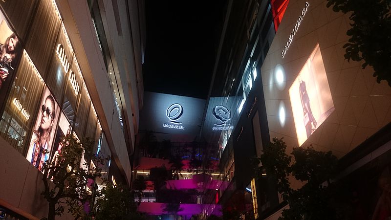
Nearby attractions include: Emporium, EmQuartier, Benchasiri Park, Thong Lo.
Frequently Asked Questions (FAQ)
Which popular attractions are close to Watthana District?
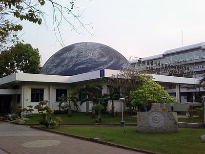
Nearby attractions include Ekkamai Road, Bangkok (21 min walk), Science Centre for Education, Bangkok (22 min walk), Bangkok Planetarium, Bangkok (22 min walk).
How to get to Watthana District by public transport?
The nearest stations to Watthana District:
Metro
Ferry
Bus
Train
Metro
- Thong Lo • Lines: BTS Sukhumvit (17 min walk)
- Ekkamai BTS Station • Lines: BTS Sukhumvit (22 min walk)
Ferry
- Soi Thonglor • Lines: Nida (21 min walk)
- Charn Issara • Lines: Nida (21 min walk)
Bus
- Bangkok Bus Terminal (22 min walk)
Train
- Khlong Tan (25 min walk)
- Ramkhamhaeng (35 min walk)

