Namtok Si Dit

Gallery (1)
Map
Map
Facts and practical information
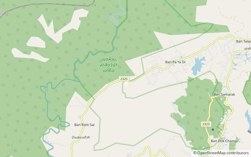
Namtok Si Dit is a waterfall and tourist attraction in Thailand. The waterfall is on the Wang Thong River and it runs throughout the year. At the falls, there is a rice mortar using power generated from the waterfall, built by the Communist Party of Thailand. ()
Coordinates: 16°37'39"N, 100°56'20"E
Location
Phetchabun
ContactAdd
Social media
Add
Day trips
Namtok Si Dit – popular in the area (distance from the attraction)
Nearby attractions include: Khao Kho.
