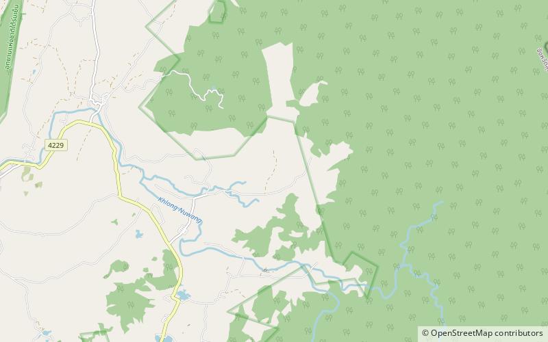
Tai Romyen National Park
Map

Map

Facts and practical information
Tai Romyen National Park is in the east of Surat Thani Province in southern Thailand. The park consists of the northern end of the Nakhon Si Thammarat mountain range and is mostly covered with forests. It was established on 31 December 1991 and covers an area of 425 km2 in the districts Kanchanadit, Ban Na San, and Wiang Sa. ()
Local name: อุทยานแห่งชาติใต้ร่มเย็น Established: 1991 (35 years ago)Coordinates: 8°48'15"N, 99°26'60"E
Location
Surat Thani
ContactAdd
Social media
Add
