Pilok
Map

Gallery

Facts and practical information
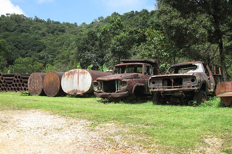
Pilok is a subdistrict in Thong Pha Phum District of Thailand's Kanchanaburi Province. Its main settlement, Ban I-tong, is a remote village on the Myanmar border, and is surrounded by Thong Pha Phum National Park, which takes up most of the subdistrict's area. Pilok rose as a mining boomtown in the 1940s, when tin and tungsten mines were established in the area, but suffered greatly from the tin market crash of 1985, after which its mines ceased operation. The village has since seen revival as a tourist destination. ()
Coordinates: 14°40'45"N, 98°22'8"E
Location
Kanchanaburi
ContactAdd
Social media
Add
Day trips
Pilok – popular in the area (distance from the attraction)
Nearby attractions include: Khao Chang Phueak.

