Ayothaya, Ayutthaya
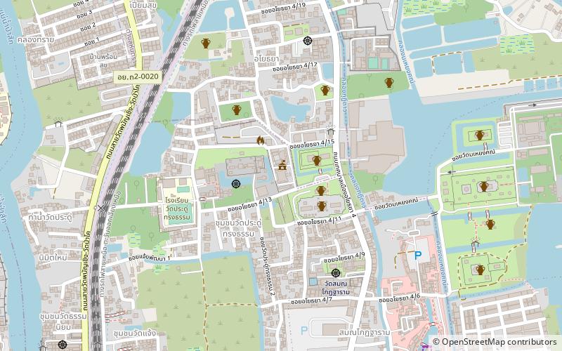
Map
Facts and practical information
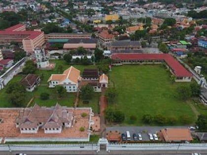
Ayothaya, officially Thetsaban Mueang Ayothaya, is a town in Phra Nakhon Si Ayutthaya District of Phra Nakhon Si Ayutthaya Province. It is a town which covers part of the tambons Phai Ling, Hantra, and Khlong Suan Phlu. ()
Coordinates: 14°21'51"N, 100°35'19"E
Address
Ayutthaya
ContactAdd
Social media
Add
Day trips
Ayothaya – popular in the area (distance from the attraction)
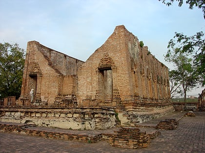
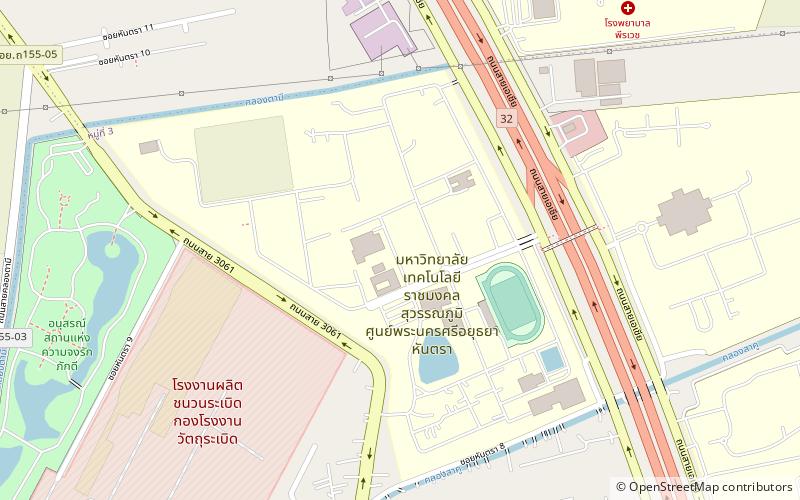
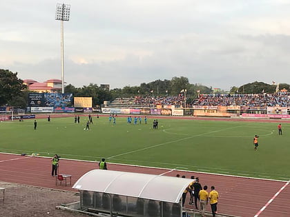
Nearby attractions include: Wat Kudi Dao, Chantharakasem National Museum, Hantra Rajamangala University of technology field, Ayutthaya Province Stadium.
Frequently Asked Questions (FAQ)
Which popular attractions are close to Ayothaya?
Nearby attractions include Wat Kudi Dao, Ayutthaya (3 min walk), Chantharakasem National Museum, Ayutthaya (24 min walk).
How to get to Ayothaya by public transport?
The nearest stations to Ayothaya:
Train
Bus
Train
- Ayutthaya (17 min walk)
Bus
- Chao Phrom Bus Terminal (22 min walk)
- Hua Ro Bus Terminal (26 min walk)
