Phadung Dao Road, Bangkok
Map
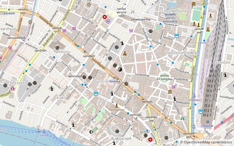
Map

Facts and practical information
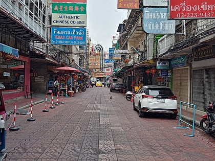
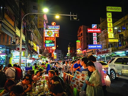
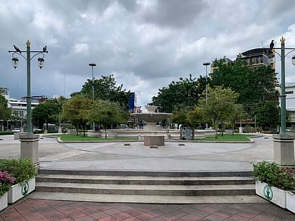
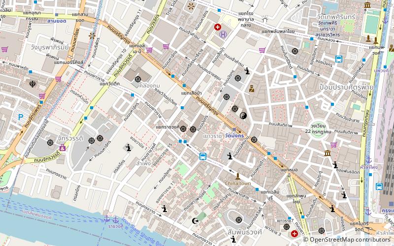
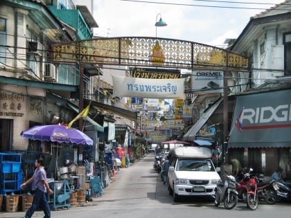
Phadung Dao Road is a road in the area of Bangkok's Chinatown, which can be considered a soi. The road is made up of two short roads, the first part: from right side of Charoen Krung Road toward to Yaowarat Road, the second part: that extended from Yaowarat up till Phat Sai Roads, its total length is about 200 m. ()
Coordinates: 13°44'33"N, 100°30'36"E
Address
กรุงรัตนโกสินทร์ (ป้อมปราบศัตรูพ่าย)Bangkok
ContactAdd
Social media
Add
Day trips
Phadung Dao Road – popular in the area (distance from the attraction)
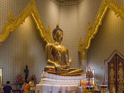
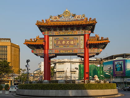
Nearby attractions include: Yaowarat Road, Golden Buddha Statue, Odeon Circle, 22 July Circle.
Frequently Asked Questions (FAQ)
Which popular attractions are close to Phadung Dao Road?
Nearby attractions include Wat Mangkon Kamalawat, Bangkok (2 min walk), Plaeng Nam Road, Bangkok (3 min walk), Wat Khanikaphon, Bangkok (3 min walk), Wat Kanmatuyaram, Bangkok (4 min walk).
How to get to Phadung Dao Road by public transport?
The nearest stations to Phadung Dao Road:
Metro
Bus
Ferry
Train
Metro
- Wat Mangkon • Lines: MRT Blue (1 min walk)
- Hua Lamphong • Lines: MRT Blue (15 min walk)
Bus
- 53 (4 min walk)
- มังกร2. จิระโรยขนส่ง (9 min walk)
Ferry
- หัวลำโพง (11 min walk)
- นพวงศ์ (12 min walk)
Train
- Bangkok (13 min walk)
- Yommarat (35 min walk)
