Lat Phrao Intersection, Bangkok
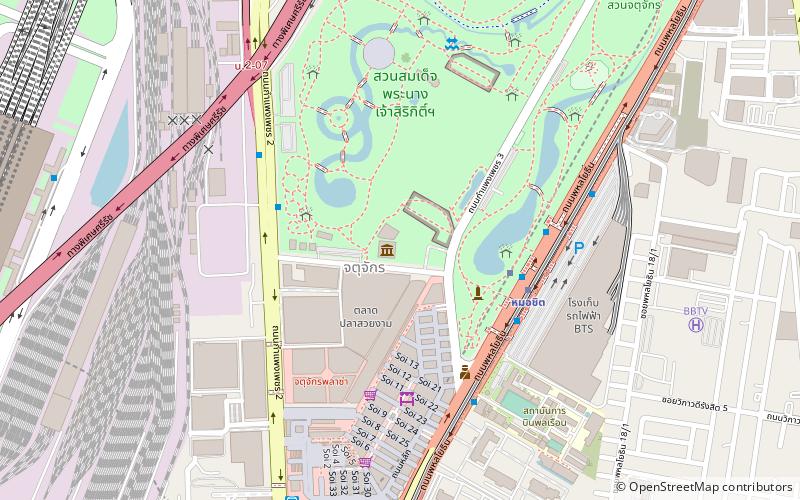
Map
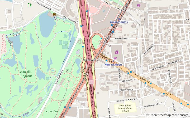
Map

Facts and practical information
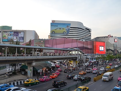
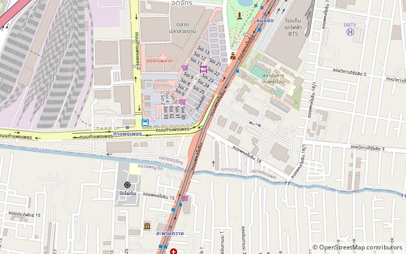
Lat Phrao Intersection is a major road junction in Chatuchak District of the Thai capital Bangkok. It is where Phahonyothin and Vibhavadi Rangsit roads—the city's two main northward highways—cross each other, and is also the beginning of Lat Phrao Road, which leads eastward through its highly populated suburbs. The junction carries the second-highest amount of road traffic in the city. ()
Coordinates: 13°48'47"N, 100°33'36"E
Address
วิภาวดี (จตุจักร)Bangkok
ContactAdd
Social media
Add
Day trips
Lat Phrao Intersection – popular in the area (distance from the attraction)
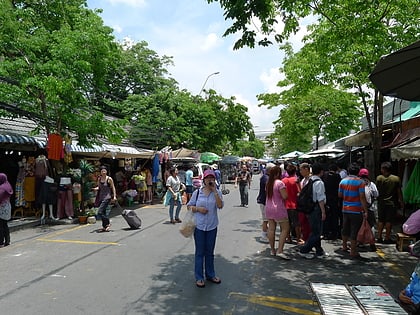
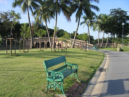
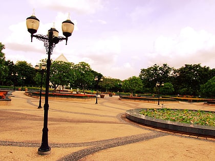
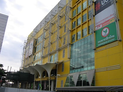
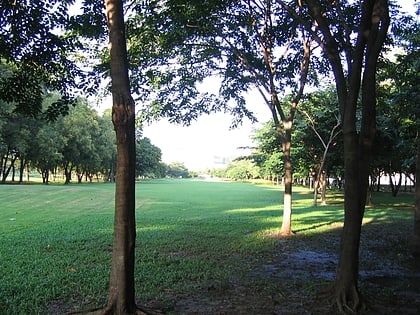
Nearby attractions include: Chatuchak Weekend Market, JJ Mall, CentralPlaza Lardprao, Chatuchak Park.
Frequently Asked Questions (FAQ)
Which popular attractions are close to Lat Phrao Intersection?
Nearby attractions include Wachirabenchathat Park, Bangkok (11 min walk), Chatuchak Park, Bangkok (12 min walk), Queen Sirikit Park, Bangkok (20 min walk), Children's Discovery Museum, Bangkok (23 min walk).
How to get to Lat Phrao Intersection by public transport?
The nearest stations to Lat Phrao Intersection:
Metro
Bus
Train
Metro
- MRT Phahon Yothin • Lines: MRT Blue (3 min walk)
- Ha Yaek Lat Phrao • Lines: BTS Sukhumvit (8 min walk)
Bus
- ธนาคารทหารไทย สำนักงานใหญ่ • Lines: 138, 145, 3, 510, 8, A1, A2 (9 min walk)
- สมบัติทัวร์ (17 min walk)
Train
- Nikhom Rotfai Ko Mo 11 (28 min walk)
- Chatuchak (30 min walk)

