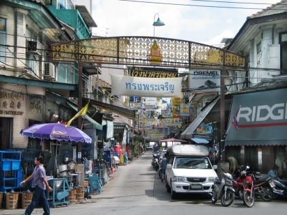
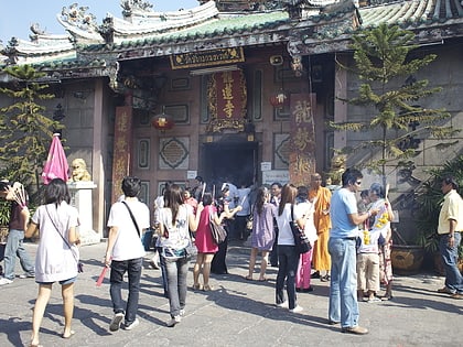
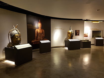
Ratchawong Road, Bangkok
Map
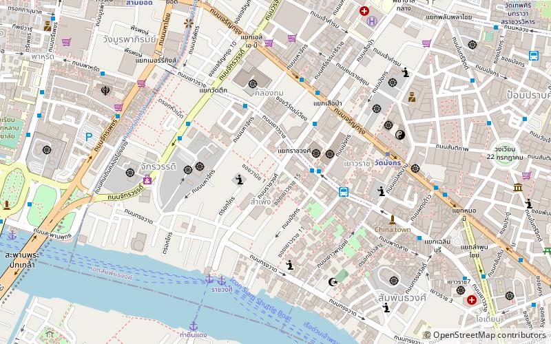
Map

Facts and practical information
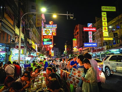
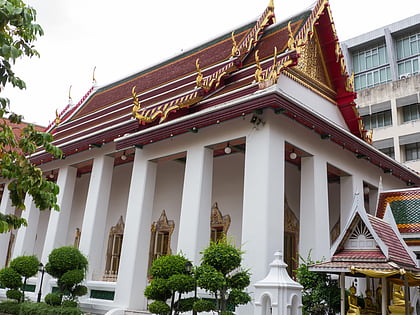
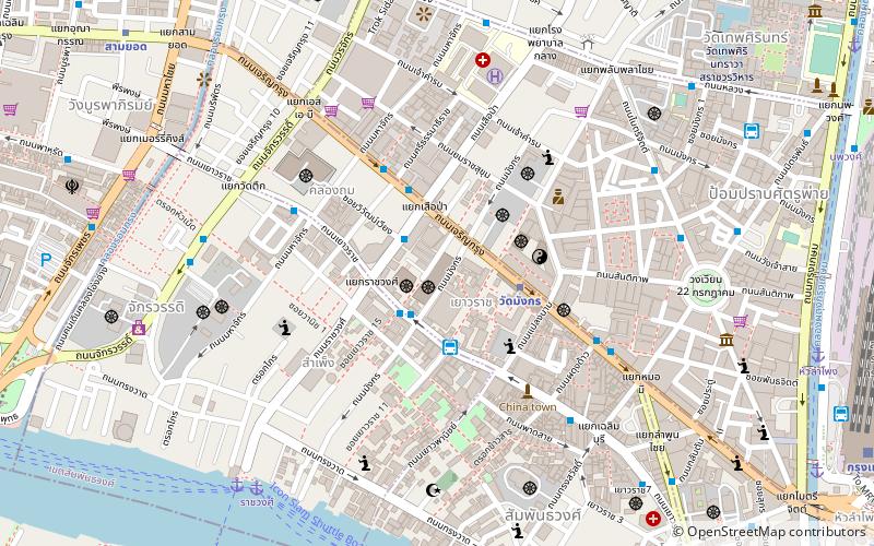
Ratchawong Road is a road in Bangkok, Thailand. It is located in the area of Bangkok's Chinatown, or popularly known in Thai as Yaowarat. ()
Coordinates: 13°44'30"N, 100°30'23"E
Address
กรุงรัตนโกสินทร์ (สัมพันธวงศ์)Bangkok
ContactAdd
Social media
Add
Day trips
Ratchawong Road – popular in the area (distance from the attraction)
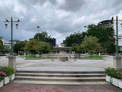
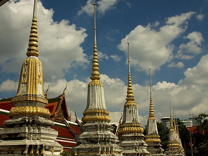
Nearby attractions include: Yaowarat Road, 22 July Circle, Wat Chai Chana Songkhram, Wat Pathum Khongkha.
Frequently Asked Questions (FAQ)
Which popular attractions are close to Ratchawong Road?
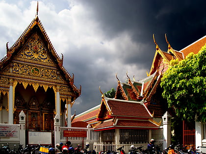
Nearby attractions include Wat Bamphen Chin Phrot, Bangkok (3 min walk), Wat Kanmatuyaram, Bangkok (4 min walk), Khlong Thom, Bangkok (5 min walk), Sampheng, Bangkok (5 min walk).
How to get to Ratchawong Road by public transport?
The nearest stations to Ratchawong Road:
Bus
Metro
Ferry
Train
Bus
- 53 (4 min walk)
- ท่าดินแดง • Lines: 20 (12 min walk)
Metro
- Wat Mangkon • Lines: MRT Blue (7 min walk)
- Sam Yot • Lines: MRT Blue (12 min walk)
Ferry
- Rachawongse • Lines: เรือด่วนพิเศษธงส้ม, เรือด่วนพิเศษธงเขียว, เรือด่วนพิเศษธงเหลือง, เรือท่องเที่ยวเจ้าพระยา, เรือประจำทาง (ไม่มีธง) (7 min walk)
- Memorial Bridge • Lines: เรือด่วนพิเศษธงส้ม, เรือประจำทาง (ไม่มีธง), เส้นทางเดินเรือโดยสารฯ คลองบางกอ (15 min walk)
Train
- Bangkok (19 min walk)
- Yommarat (40 min walk)

