Wat That Khao, Chiang Mai

Map
Facts and practical information
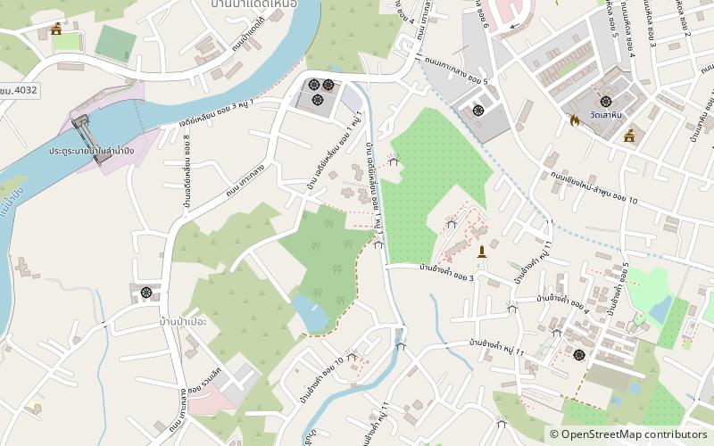
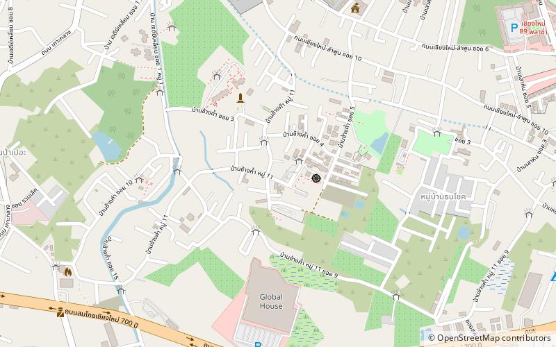
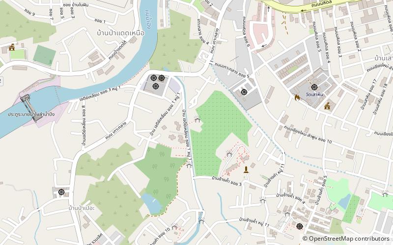
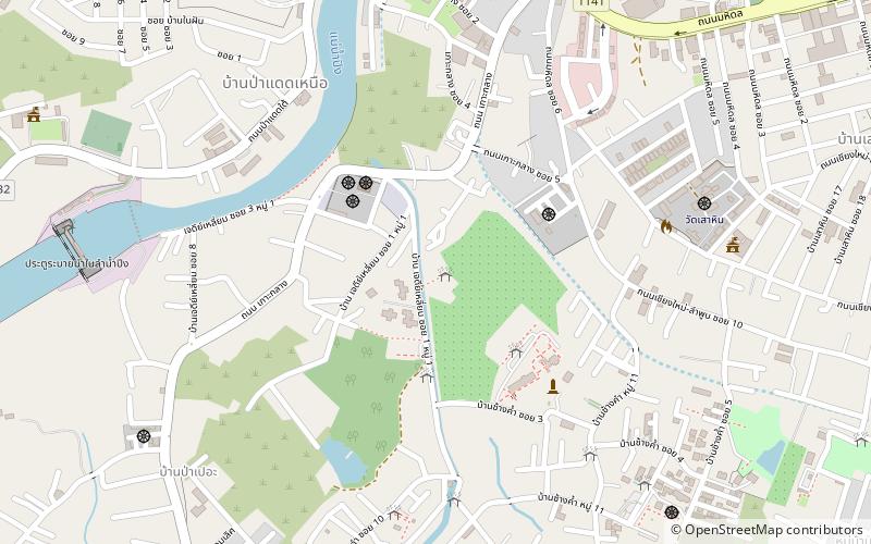
Wat That Khao is a ruined temple in the Wiang Kum Kam archaeological site, south of Chiang Mai in northern Thailand, thought to have been built in the 16th or 17th century. Its chedi is presumed to have been formerly lime-plastered, hence the name. The temple faces northeast. ()
Coordinates: 18°45'3"N, 98°59'48"E
Address
Chiang Mai
ContactAdd
Social media
Add
Day trips
Wat That Khao – popular in the area (distance from the attraction)
Nearby attractions include: Wat That Noi, Wat Phrachao Ong Dam, Wat Chang Kham, Wat Nan Chang.
Frequently Asked Questions (FAQ)
Which popular attractions are close to Wat That Khao?
Nearby attractions include Wat Phrachao Ong Dam, Chiang Mai (3 min walk), Wat Pu Pia, Chiang Mai (3 min walk), Wat Phaya Mangrai, Chiang Mai (3 min walk), Wat Nan Chang, Chiang Mai (4 min walk).


