Lam Sali, Bangkok

Map
Facts and practical information
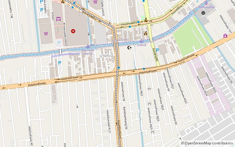
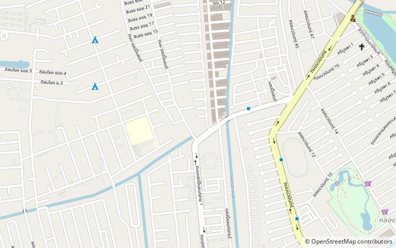
Lam Sali is a four-way intersection in Hua Mak subdistrict, Bang Kapi district, Bangkok. It is also the name of the surrounding area. ()
Coordinates: 13°45'46"N, 100°38'44"E
Address
บูรพา (บางกะปิ)Bangkok
ContactAdd
Social media
Add
Day trips
Lam Sali – popular in the area (distance from the attraction)
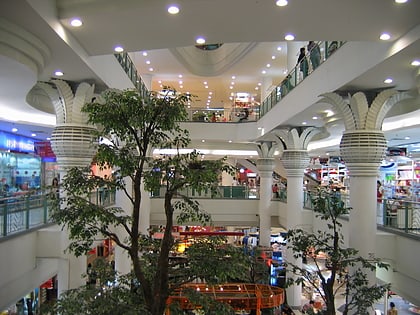
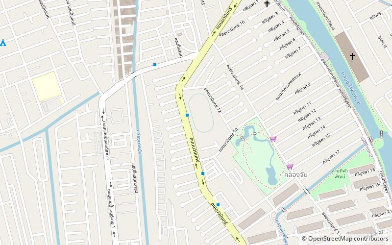
Nearby attractions include: Happy Land, Bang Kapi District, Pantip Bangkapi phanthu thiphy bangkapi, Klong Chan Sports Center.
Frequently Asked Questions (FAQ)
How to get to Lam Sali by public transport?
The nearest stations to Lam Sali:
Ferry
Bus
Ferry
- The Mall Bangkapi • Lines: Nida (6 min walk)
- Bangkapi • Lines: Nida (6 min walk)
Bus
- ท่ารถเมล์สาย 44,191 (20 min walk)
- ท่าปล่อยรถเมล์สาย ปอ.40 (22 min walk)


