Worachak Road, Bangkok
Map
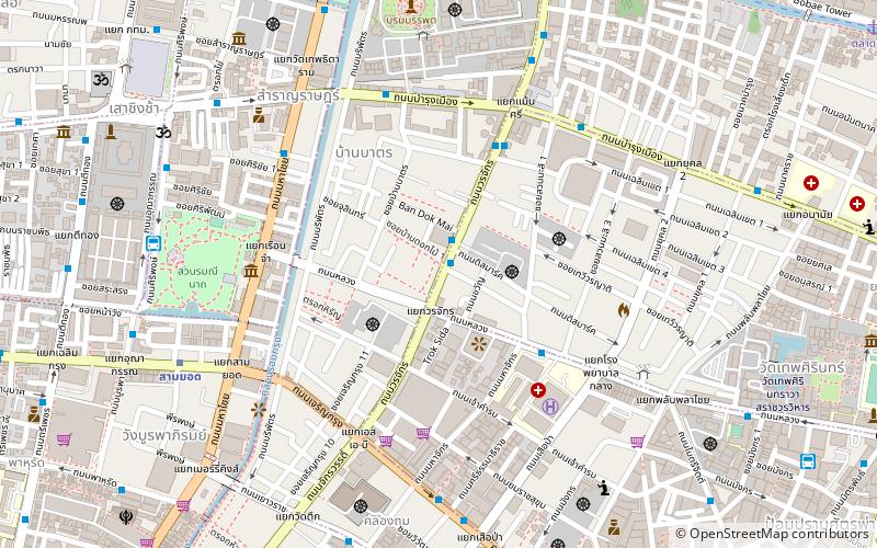
Map

Facts and practical information
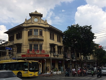
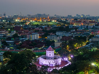
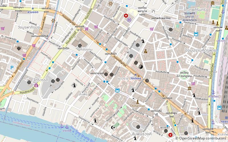
Worachak Road is a road and neighbourhood in Bangkok. It's a short road in the area of Pom Prap Sattru Phai district and administrative boundary between Ban Bat, Pom Prap and Wat Thep Sirin sub-districts. It's starts from S.A.B. intersection in Samphanthawong district until end at Maen Si intersection near Wat Saket in Pom Prap Sattru Phai district. ()
Coordinates: 13°44'56"N, 100°30'26"E
Address
กรุงรัตนโกสินทร์ (ป้อมปราบศัตรูพ่าย)Bangkok
ContactAdd
Social media
Add
Day trips
Worachak Road – popular in the area (distance from the attraction)
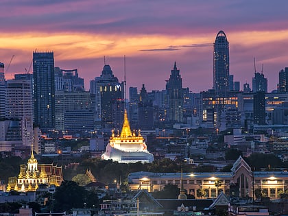
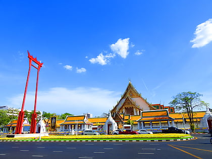
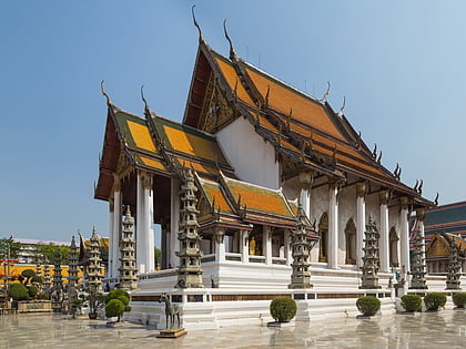
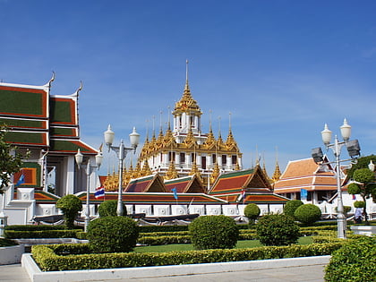
Nearby attractions include: Wat Saket, Giant Swing, Wat Suthat, Wat Ratchanatdaram.
Frequently Asked Questions (FAQ)
Which popular attractions are close to Worachak Road?
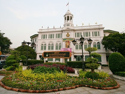
Nearby attractions include Bangkok Corrections Museum, Bangkok (6 min walk), Bamrung Mueang Road, Bangkok (6 min walk), Saphan Lek, Bangkok (7 min walk), Sommot Amon Mak Bridge, Bangkok (7 min walk).
How to get to Worachak Road by public transport?
The nearest stations to Worachak Road:
Metro
Ferry
Bus
Train
Metro
- Sam Yot • Lines: MRT Blue (10 min walk)
- Wat Mangkon • Lines: MRT Blue (13 min walk)
Ferry
- Phanfa Leelard • Lines: Golden Mount (12 min walk)
- ยศเส (17 min walk)
Bus
- Bus stop 2, 15, 44, 47, 60 • Lines: 2, 511, S1 (14 min walk)
- A4 to Don Mueang airport 50bth • Lines: 2, 511, A4, S1 (14 min walk)
Train
- Bangkok (24 min walk)
- Yommarat (30 min walk)
