Si Phraya Road, Bangkok
Map
Map

Facts and practical information
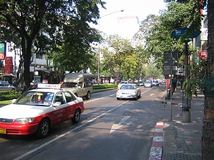
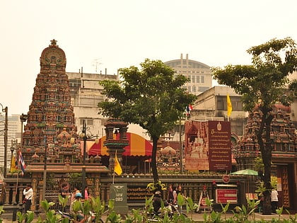
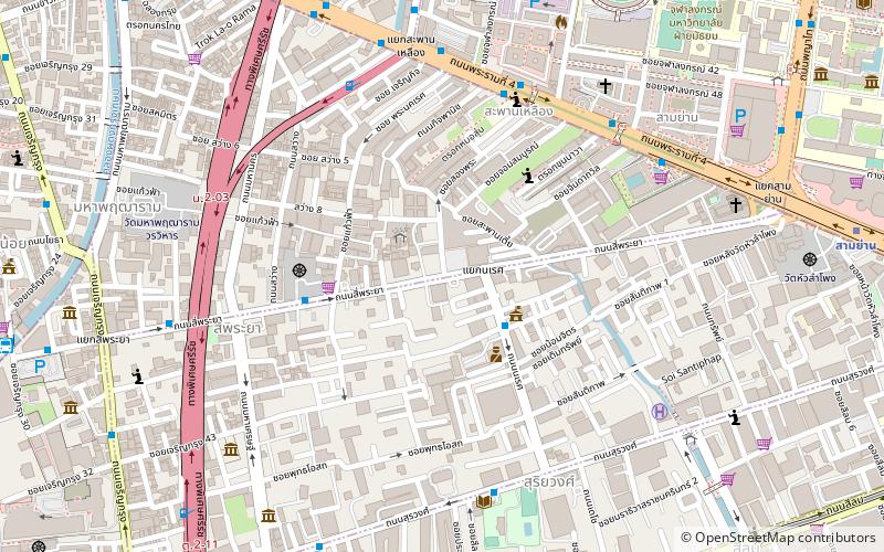
Si Phraya Road is a road in Bang Rak District, Bangkok, Thailand. It divides the areas of Maha Phruettharam and Si Phraya subdistricts. Built in 1906 by four noblemen of the rank phraya, the road runs from Si Phraya Pier at the mouth of the Phadung Krung Kasem Canal to Sam Yan Intersection, where it meets the Phaya Thai and Rama IV Roads. ()
Coordinates: 13°43'53"N, 100°31'20"E
Address
ลุมพินี (บางรัก)Bangkok
ContactAdd
Social media
Add
Day trips
Si Phraya Road – popular in the area (distance from the attraction)
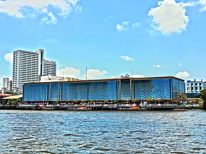
Nearby attractions include: Si Lom, River City Shopping Complex, Jewelry Trade Center, Patpong Museum.
Frequently Asked Questions (FAQ)
Which popular attractions are close to Si Phraya Road?
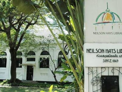
Nearby attractions include Neilson Hays Library, Bangkok (8 min walk), San Chao Chet, Bangkok (10 min walk), Bangkokian Museum, Bangkok (10 min walk), Sam Yan, Bangkok (10 min walk).
How to get to Si Phraya Road by public transport?
The nearest stations to Si Phraya Road:
Bus
Metro
Ferry
Train
Bus
- 4,21,29,40,53 • Lines: 21, 25, 507 (13 min walk)
- Hualamphong (19 min walk)
Metro
- Sam Yan • Lines: MRT Blue (14 min walk)
- Hua Lamphong • Lines: MRT Blue (14 min walk)
Ferry
- Si Phraya • Lines: เรือด่วนพิเศษธงส้ม, เรือด่วนพิเศษธงเขียว, เรือด่วนพิเศษธงเหลือง, เรือท่องเที่ยวเจ้าพระยา, เรือประจำทาง (ไม่มีธง) (17 min walk)
- สถานีรถไฟหัวลำโพง (17 min walk)
Train
- Bangkok (17 min walk)

