Samsen Road, Bangkok
Map
Gallery
Facts and practical information
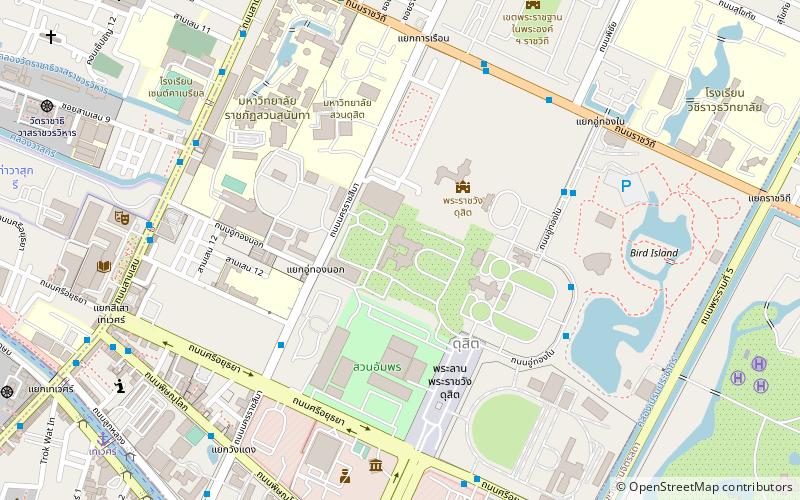
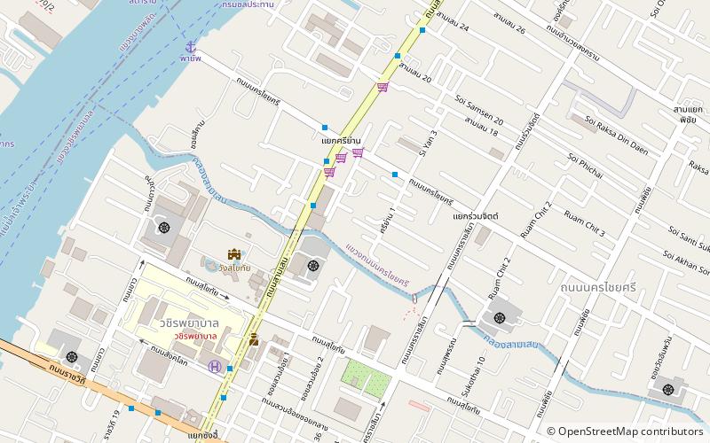
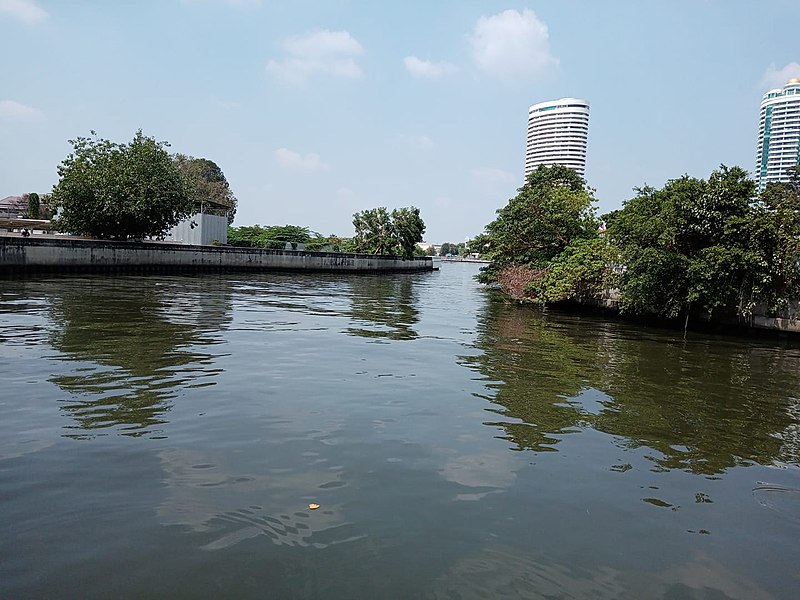
Samsen or spelled Sam Sen is a road and neighbourhood in Bangkok considered to be one of Bangkok's oldest. Samsen road starts from Bang Lamphu intersection in the area of Bang Lamphu within Phra Nakhon district and wends northeast to Dusit district as far as it ends at Kiakkai intersection, covering 4.6 km. It runs parallel to east Chao Phraya river all the route. ()
Coordinates: 13°47'0"N, 100°30'44"E
Address
กรุงรัตนโกสินทร์ (ดุสิต)Bangkok
ContactAdd
Social media
Add
Day trips
Samsen Road – popular in the area (distance from the attraction)
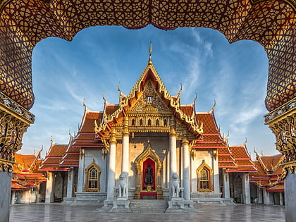
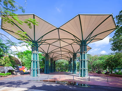
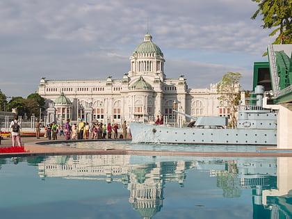
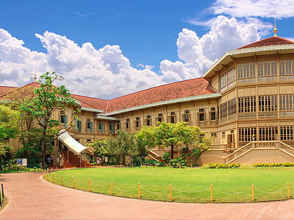
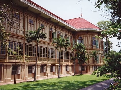
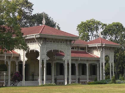
Nearby attractions include: Wat Benchamabophit, Dusit Zoo, Ananta Samakhom Throne Hall, Vimanmek Mansion.
Frequently Asked Questions (FAQ)
Which popular attractions are close to Samsen Road?
Nearby attractions include Nakhon Chai Si Road, Bangkok (4 min walk), Sukhothai Palace, Bangkok (6 min walk), Bang Krabue, Bangkok (12 min walk), Dusit District, Bangkok (12 min walk).
How to get to Samsen Road by public transport?
The nearest stations to Samsen Road:
Ferry
Bus
Metro
Train
Ferry
- Payap • Lines: เรือด่วนพิเศษธงส้ม, เรือประจำทาง (ไม่มีธง) (10 min walk)
- Krung Thon Bridge • Lines: เรือด่วนพิเศษธงส้ม, เรือด่วนพิเศษธงเขียว, เรือประจำทาง (ไม่มีธง) (20 min walk)
Bus
- 3 • Lines: 3 (16 min walk)
- มหาวิทยาลัยราชภัฏสวนสุนันทา - 3, 9ร, 16, 32, 33ร, 49, 51ร, 65, 110ร, 505 • Lines: 3 (19 min walk)
Metro
- Bang Phlat • Lines: MRT Blue (21 min walk)
- Bang O • Lines: MRT Blue (28 min walk)
Train
- Ramathibodi Hospital (35 min walk)

