Thewet Naruemit Bridge, Bangkok
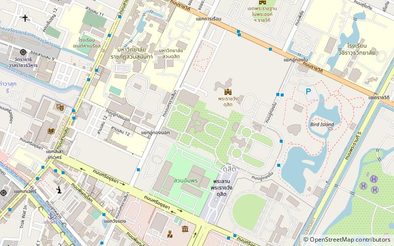
Map
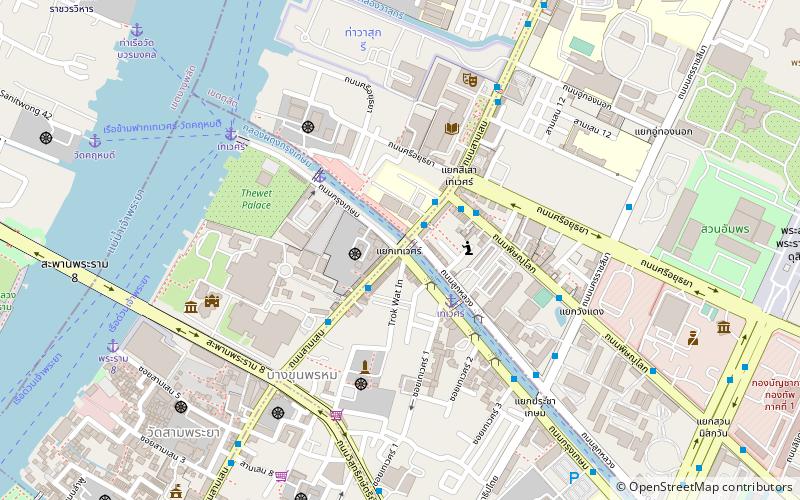
Map

Facts and practical information
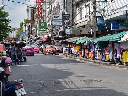
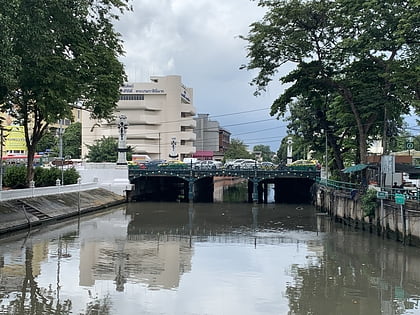
Thewet Naruemit Bridge is a historic bridge over canal Khlong Phadung Krung Kasem in downtown Bangkok at Samsen Road, and also called in short as "Thewet". Its name is also a name of surrounding area. ()
Coordinates: 13°46'11"N, 100°30'13"E
Address
กรุงรัตนโกสินทร์ (พระนคร)Bangkok
ContactAdd
Social media
Add
Day trips
Thewet Naruemit Bridge – popular in the area (distance from the attraction)
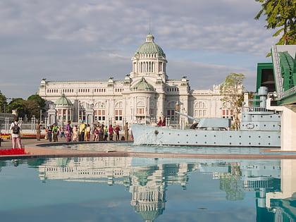
Nearby attractions include: Wat Benchamabophit, Khaosan Road, Ananta Samakhom Throne Hall, Rajadamnern Stadium.
Frequently Asked Questions (FAQ)
Which popular attractions are close to Thewet Naruemit Bridge?
Nearby attractions include Wat Intharawihan, Bangkok (6 min walk), National Library of Thailand, Bangkok (6 min walk), Bang Khun Phrom Palace, Bangkok (7 min walk), Wisukam Narueman Bridge, Bangkok (8 min walk).
How to get to Thewet Naruemit Bridge by public transport?
The nearest stations to Thewet Naruemit Bridge:
Ferry
Bus
Metro
Ferry
- เทเวศร์ (3 min walk)
- ตลาดเทวราช (5 min walk)
Bus
- หอสมุดแห่งชาติ • Lines: 3 (7 min walk)
- ท่ารถประจำทางสาย 23 • Lines: 23 (7 min walk)
Metro
- Sirindhorn • Lines: MRT Blue (31 min walk)


