Ram Buttri Road, Bangkok
Map
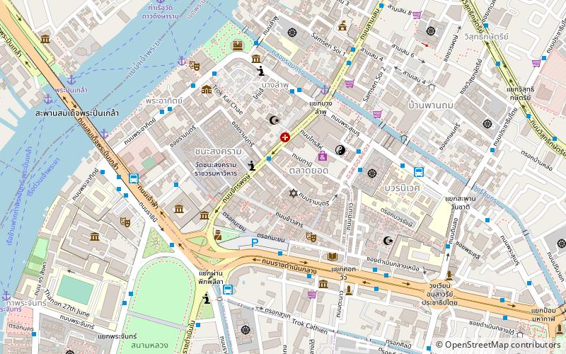
Map

Facts and practical information
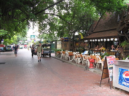
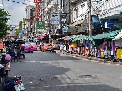
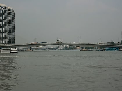
Ram Buttri Road or Soi Ram Buttri, is a small road, or soi, in Bangkok, Thailand. It is situated near Khaosan Road in the Bang Lamphu neighbourhood in the Phra Nakhon district. The road mainly consists of two parts. The first part connects Sip Sam Hang Road with the Chakrabongse Road. The second part runs from the Chakrabongse Road, beside Wat Chana Songkhram, to the Chao Fa Road, which is at the foot of the Pra Pin-Klao Bridge opposite the National Theater. ()
Address
กรุงรัตนโกสินทร์ (พระนคร)Bangkok
ContactAdd
Social media
Add
Day trips
Ram Buttri Road – popular in the area (distance from the attraction)
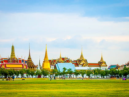
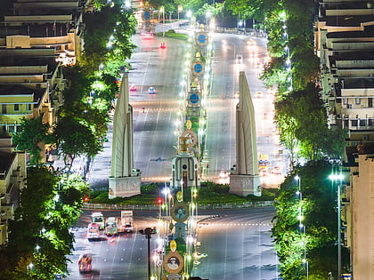
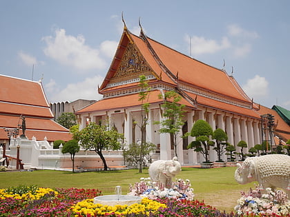
Nearby attractions include: Khaosan Road, Sanam Luang, Democracy Monument, Bangkok National Museum.
Frequently Asked Questions (FAQ)
Which popular attractions are close to Ram Buttri Road?
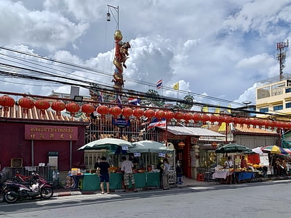
Nearby attractions include Talat Yot, Bangkok (2 min walk), Khaosan Road, Bangkok (3 min walk), Chakraphong Mosque, Bangkok (4 min walk), Wat Chana Songkhram, Bangkok (4 min walk).
How to get to Ram Buttri Road by public transport?
The nearest stations to Ram Buttri Road:
Bus
Ferry
Metro
Bus
- Chakrabongse • Lines: 3, A4, S1 (2 min walk)
- Ratchadamnoen Bus #2,15,22,44,47,60,68,A4,S1) Bus 15 to MBK • Lines: 2, 511, A4, S1 (4 min walk)
Ferry
- Phra Arthit • Lines: เรือด่วนพิเศษธงส้ม, เรือท่องเที่ยวเจ้าพระยา, เรือประจำทาง (ไม่มีธง) (8 min walk)
- Phra Pin Klao Bridge • Lines: เรือด่วนพิเศษธงส้ม, เรือด่วนพิเศษธงเขียว, เรือด่วนพิเศษธงเหลือง, เรือประจำทาง (ไม่มีธง) (13 min walk)
Metro
- Sam Yot • Lines: MRT Blue (25 min walk)
- Sanam Chai • Lines: MRT Blue (29 min walk)
