Saphan Mai, Bangkok
Map
Map

Facts and practical information
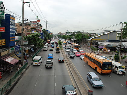
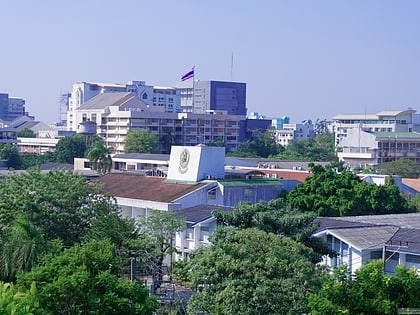
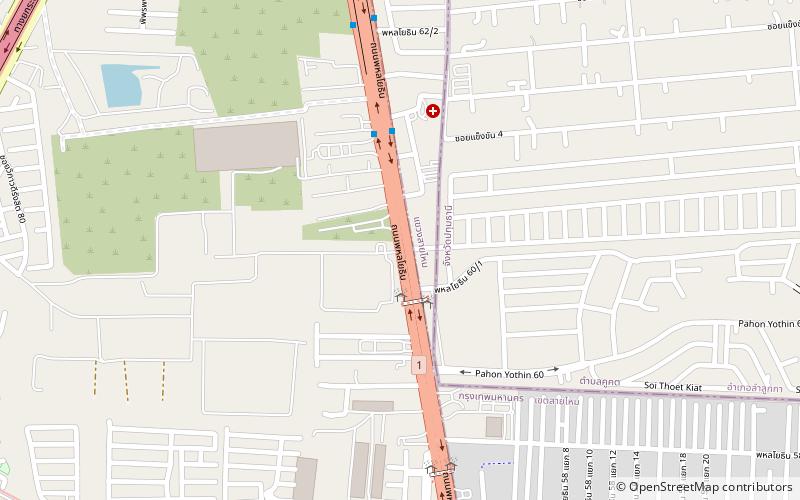
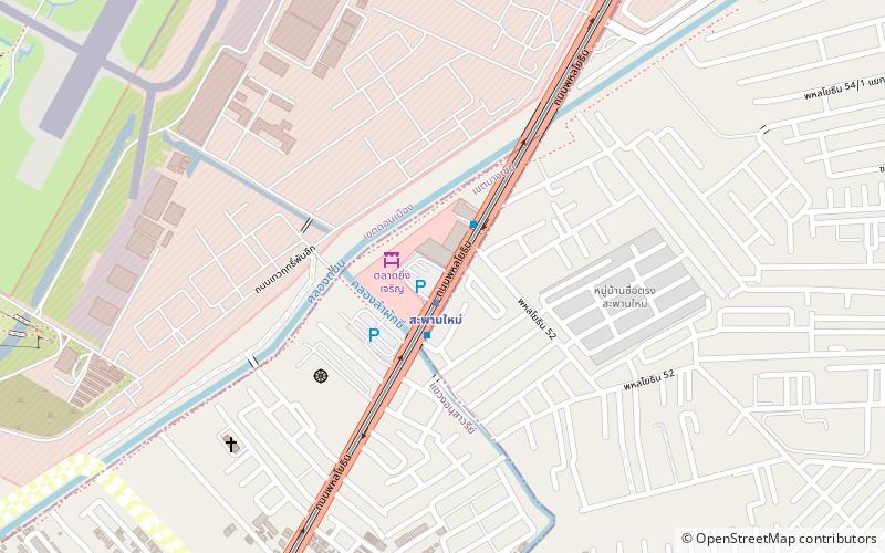
Saphan Mai is a marketplace and neighbourhood in north Bangkok, chiefly in the Anusawari Subdistrict, Bang Khen District and part of Khlong Thanon Subdistrict, Sai Mai District. The Saphan Mai area covers two sides of Phahonyothin Road for about three kilometres from south, Anusawari Lak Si Circle, to north, Saphan Sukoranakhaseni, a bridge that spans Khlong Song or Khlong Thanon and connects Bang Khen, Sai Mai, and Don Mueang Districts. ()
Coordinates: 13°53'49"N, 100°36'33"E
Address
เหนือพระนคร (สายไหม)Bangkok
ContactAdd
Social media
Add
Day trips
Saphan Mai – popular in the area (distance from the attraction)
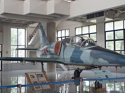
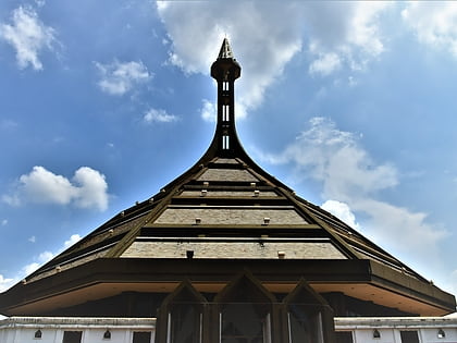
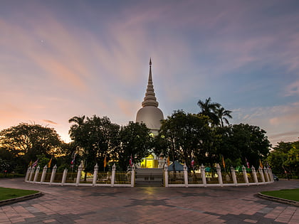
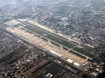
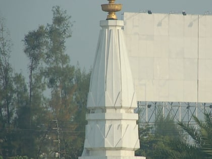
Nearby attractions include: CentralPlaza Ramindra, Impact, Royal Thai Air Force Museum, National Memorial.
Frequently Asked Questions (FAQ)
How to get to Saphan Mai by public transport?
The nearest stations to Saphan Mai:
Metro
Bus
Metro
- Saphan Mai • Lines: BTS Sukhumvit (1 min walk)
- Sai Yud • Lines: BTS Sukhumvit (18 min walk)
Bus
- Saphan Mai Market • Lines: 1009 (2 min walk)
- ท่ารถท่าอากาศยานดอนเมือง • Lines: A1, A2, A3, A4 (29 min walk)
