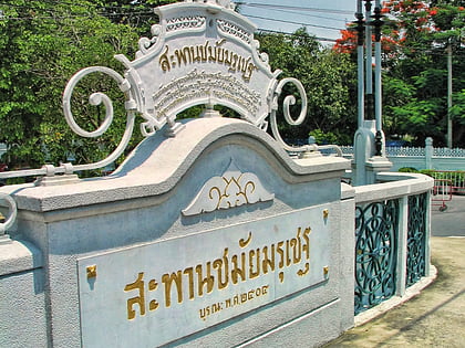
Chamai Maru Chet Bridge, Bangkok
Map
Map

Facts and practical information
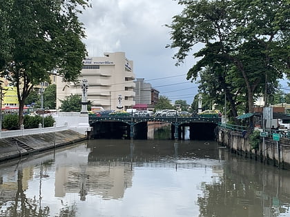
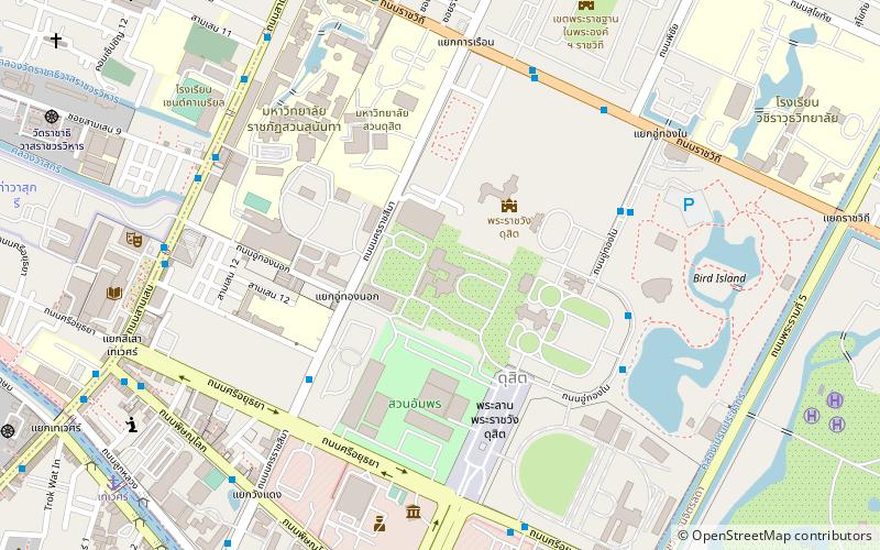
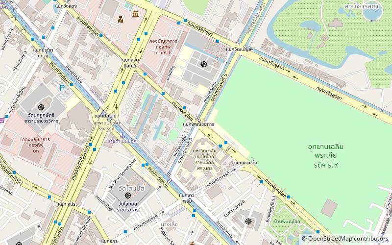
Chamai Maru Chet Bridge is a historic bridge in Bangkok located on Phitsanulok Road, Suan Chitlada Sudditrict, Dusit District in the area of Government House near Rajavinit Mathayom School, Nang Loeng Racecourse, Rajamangala University of Technology Phra Nakhon: Nang Loeng Campus and Wat Benchamabophit. At the end of the bridge on Rajavinit Mathayom School side is four-way intersection that is the meeting point of Rama V and Phitsanulok Roads, called Phanitchayakan Intersection. ()
Coordinates: 13°45'48"N, 100°30'48"E
Address
กรุงรัตนโกสินทร์ (ดุสิต)Bangkok
ContactAdd
Social media
Add
Day trips
Chamai Maru Chet Bridge – popular in the area (distance from the attraction)
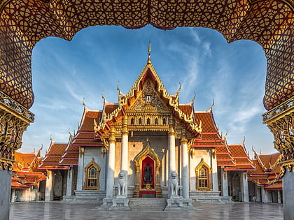
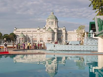
Nearby attractions include: Wat Benchamabophit, Dusit Zoo, Ananta Samakhom Throne Hall, Rajadamnern Stadium.
Frequently Asked Questions (FAQ)
Which popular attractions are close to Chamai Maru Chet Bridge?
Nearby attractions include Government House of Thailand, Bangkok (3 min walk), Wat Benchamabophit, Bangkok (5 min walk), Khlong Prem Prachakon, Bangkok (6 min walk), Thewakam Rangrak Bridge, Bangkok (6 min walk).
How to get to Chamai Maru Chet Bridge by public transport?
The nearest stations to Chamai Maru Chet Bridge:
Ferry
Bus
Train
Metro
Ferry
- ราชดำเนินนอก (6 min walk)
- นครสวรรค์ (7 min walk)
Bus
- 2 • Lines: 2, 511, 8, S1 (13 min walk)
- ท่ารถประจำทางสาย 23 • Lines: 23 (14 min walk)
Train
- Yommarat (17 min walk)
- Ramathibodi Hospital (23 min walk)
Metro
- Sam Yot • Lines: MRT Blue (35 min walk)
- National Stadium • Lines: BTS Silom (41 min walk)
