Khlong Sathon, Bangkok
Map
Map

Facts and practical information
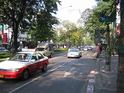
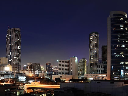
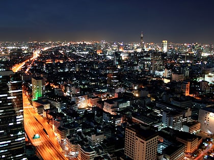
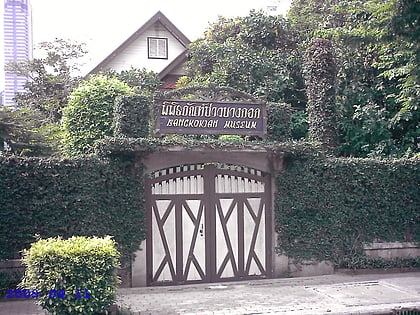
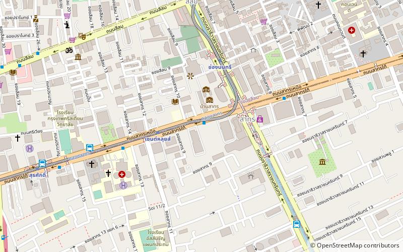
Khlong Sathon is a khlong in downtown Bangkok. Nowadays, it is just a small waterway amidst the tall buildings in Sathon quarter, the country's important centre area of business and financial. ()
Coordinates: 13°43'16"N, 100°31'43"E
Address
ลุมพินี (สาทร)Bangkok
ContactAdd
Social media
Add
Day trips
Khlong Sathon – popular in the area (distance from the attraction)
Nearby attractions include: Si Lom, Jewelry Trade Center, Patpong Museum, Neilson Hays Library.
Frequently Asked Questions (FAQ)
Which popular attractions are close to Khlong Sathon?
Nearby attractions include Empire Tower, Bangkok (3 min walk), Robot Building, Bangkok (3 min walk), King Power Mahanakhon, Bangkok (5 min walk), Sathon Road, Bangkok (5 min walk).
How to get to Khlong Sathon by public transport?
The nearest stations to Khlong Sathon:
Metro
Bus
Ferry
Metro
- Saint Louis • Lines: BTS Silom (4 min walk)
- Chong Nonsi • Lines: BTS Silom (5 min walk)
Bus
- Sathorn (4 min walk)
- Arkan Songkhro (10 min walk)
Ferry
- Oriental (26 min walk)
- Sathorn • Lines: เรือด่วนพิเศษธงส้ม, เรือด่วนพิเศษธงเขียว, เรือด่วนพิเศษธงเหลือง, เรือท่องเที่ยวเจ้าพระยา, เรือประจำทาง (ไม่มีธง) (28 min walk)

