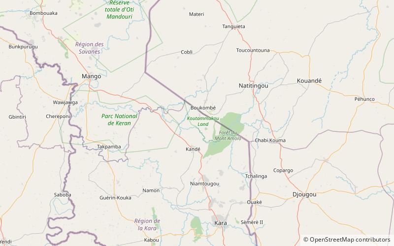
Koutammakou

Gallery (1)
Map
Map
Facts and practical information
Koutammakou, the Land of the Batammariba is a cultural landscape designated in 2004 as a UNESCO World Heritage Site in northern Togo. The area features traditional mud tower-houses which remain the preferred style of living. The traditional mud houses are known as a national symbol of Togo. Many of the mud houses have two floors and some of them have a flat roof. ()
Location
Kara
ContactAdd
Social media
Add