Kao Island
Gallery (2)
Map

Map
Gallery
Facts and practical information
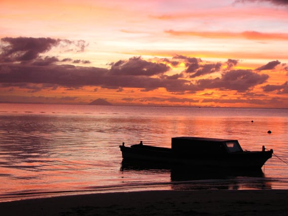
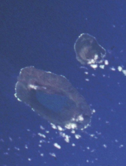
Kao is an island and stratovolcano in the Haʻapai island group of Tonga. It lies about 6 km north of Tofua island and reaches 1,030 m above sea level, the highest point in Tonga. ()
Alternative names: Last eruption: 1847Area: 4.48 mi²Elevation: 3379 ftProminence: 3379 ftCoordinates: 19°40'12"S, 175°1'48"W
Location
Ha'apai
ContactAdd
Social media
Add
Day trips
Kao Island – popular in the area (distance from the attraction)
Nearby attractions include: Tofua.
