Trek Zone

Macqueripe Beach, Chaguaramas
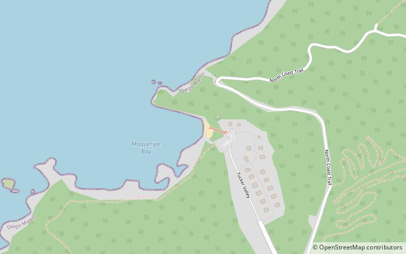
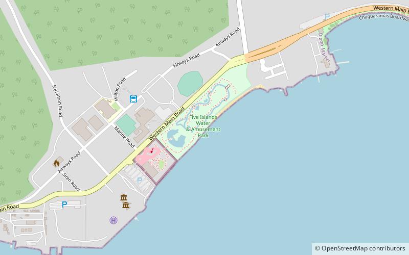
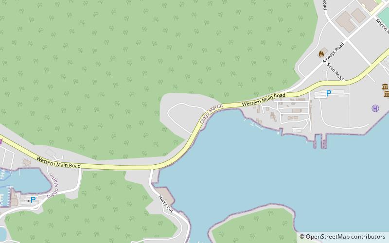
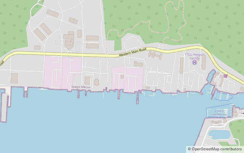
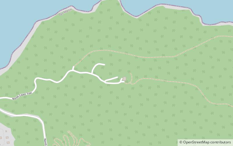
#1 among attractions in Chaguaramas

Beach, Outdoor activities
Macqueripe Beach location map
Map

Facts and practical information

Macqueripe Beach (address: Tucker Valley) is a place located in Chaguaramas (Diego Martin region) and belongs to the category of beach, outdoor activities.

It is situated at an altitude of 82 feet, and its geographical coordinates are 10°44'20"N latitude and 61°37'8"W longitude.

Among other places and attractions worth visiting in the area are: Tracking Station, Trinidad (ruins, 20 min walk), Chagville Beach (beach, 93 min walk), O2 Park (watersports, 100 min walk).

Coordinates: 10°44'20"N, 61°37'8"W
Address

Tucker ValleyChaguaramas Trinidad and Tobago

Contact
Social media
Day trips

Macqueripe Beach – popular in the area (distance from the attraction)

Nearby attractions include: Chagville Beach, Starlite Shopping Plaza, Horizons Art Gallery, O2 Park.

  • chagville beach chaguaramas location map
    3.6 miS
  • starlite shopping plaza port of spain5.7 miSE
  • horizons art gallery port of spain7.2 miSE
  • o2 park chaguaramas location map
    3.9 miS
  • lenagan island5.5 miS
  • fort george port of spain6.3 miSE
  • chaguaramas marine facility location map
    4.2 miS
  • tracking station trinidad location map
    0.8 miE
  • craig island5.5 miS
  • nelson island5.7 miS
  • pelican island5.6 miS

Where to next? Visit diego martin Diego Martin region page or discover the top tourist attractions in Trinidad and Tobago.