Trinidad mangroves
Map

Map

Facts and practical information
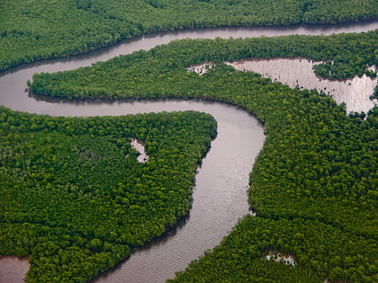
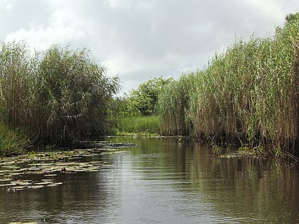
The Trinidad mangroves ecoregion covers the separate mangrove forest areas on the coast of the island of Trinidad, in the country of Trinidad and Tobago. The character of the mangroves is affected by the large amount of fresh water flowing out of the Orinoco River and Amazon River to the south, which flow northwest around the island. The mangroves of Trinidad are found on all coasts, and are usually in the estuaries of rivers, but also found in coastal lagoons. ()
Coordinates: 10°25'12"N, 61°2'60"W
Location
Mayaro/Rio Claro
ContactAdd
Social media
Add
Day trips
Trinidad mangroves – popular in the area (distance from the attraction)
Nearby attractions include: Nariva Swamp.

