Trinidad and Tobago moist forests, Trinidad
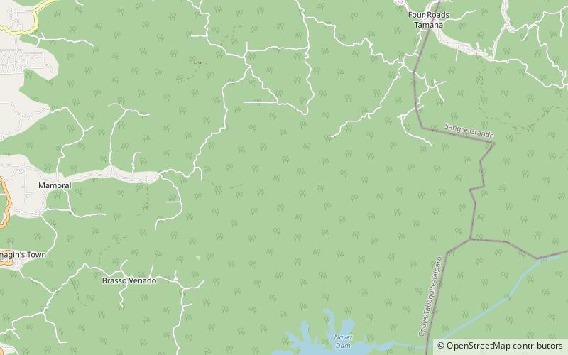
Map
Map

Facts and practical information
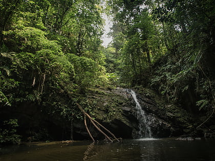
The Trinidad and Tobago moist forests ecoregion covers most of Trinidad Island and Tobago Island near the coast of South America where the southeastern Caribbean Sea meets the Atlantic Ocean. Small portions of the islands around river estuaries and coastal lowlands are mangroves or dry forests. Species diversity is very high, in particular for plants and birds. Tobago, being much smaller, has fewer species. ()
Coordinates: 10°27'0"N, 61°15'0"W
Address
Trinidad
ContactAdd
Social media
Add
Day trips
Trinidad and Tobago moist forests – popular in the area (distance from the attraction)
Nearby attractions include: Tabaquite, Navet Dam, Central Range.
