Belvedere Park, Tunis
Map
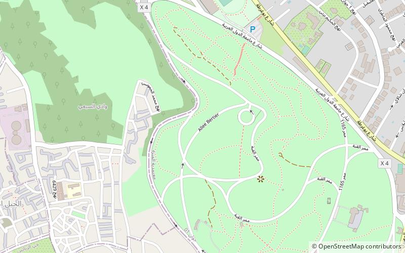
Map

Facts and practical information
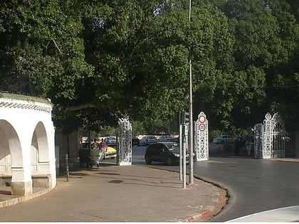
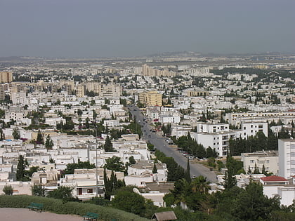
The Belvedere Park is the largest park in the city of Tunis. Developed in the late nineteenth century, it is located north of the city.
Elevation: 210 ft a.s.l.Coordinates: 36°49'27"N, 10°10'9"E
Address
Tunis
ContactAdd
Social media
Add
Day trips
Belvedere Park – popular in the area (distance from the attraction)
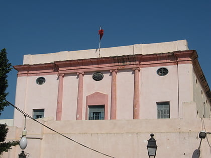
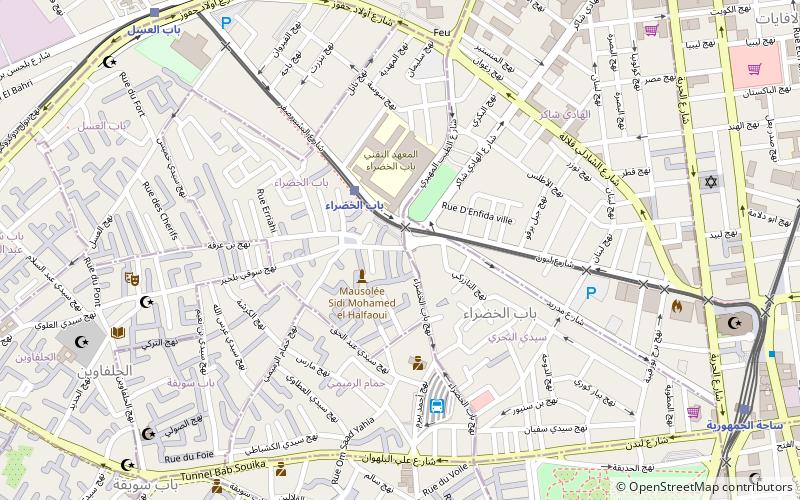
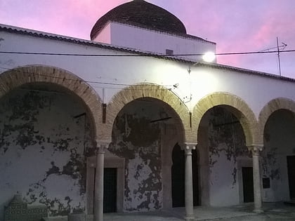
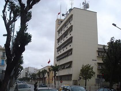
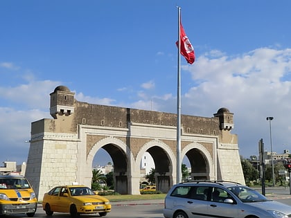
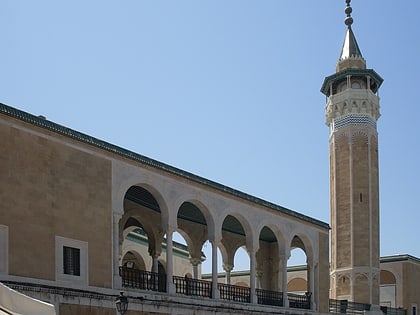
Nearby attractions include: Medina of Tunis, Khaznadar Palace, Bab el Khadra, Sidi Belhassen El Halfaoui Mosque.
Frequently Asked Questions (FAQ)
Which popular attractions are close to Belvedere Park?
Nearby attractions include Medina of Tunis, Tunis (14 min walk), Mutuelleville, Tunis (17 min walk), El borj Mosque, Tunis (22 min walk).
How to get to Belvedere Park by public transport?
The nearest stations to Belvedere Park:
Light rail
Train
Bus
Light rail
- فلسطين • Lines: 2 (20 min walk)
- باب العسل • Lines: 3, 4, 5 (20 min walk)
Train
- فلسطين (20 min walk)
- باب العسل (20 min walk)
Bus
- Mohamed V (20 min walk)
- North Ouest Transport (28 min walk)
