Zembra
Map

Map

Facts and practical information
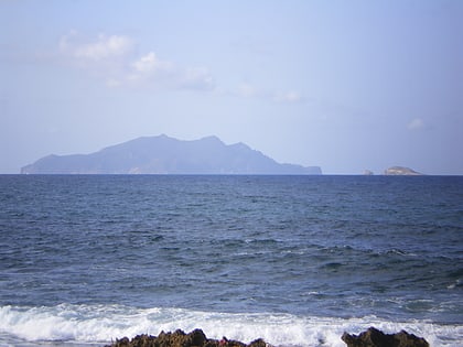
Zembra is a Tunisian island. The island is a 432 metres tall rock formation, and as such contains many 400 metre-high cliffs. It has an area of 369 hectares. Located 15 kilometres from El Haouaria and 50 kilometres from the port of La Goulette, it is a natural extension of the peninsula of Cap Bon. Zembra is a natural fortress that housed a resort until 1976 and then passed into the hands of the Tunisian army. On the southern coast there are remains of an ancient harbour. ()
Location
Nabeul
ContactAdd
Social media
Add
