Enfidha

Gallery (1)
Map
Map
Facts and practical information
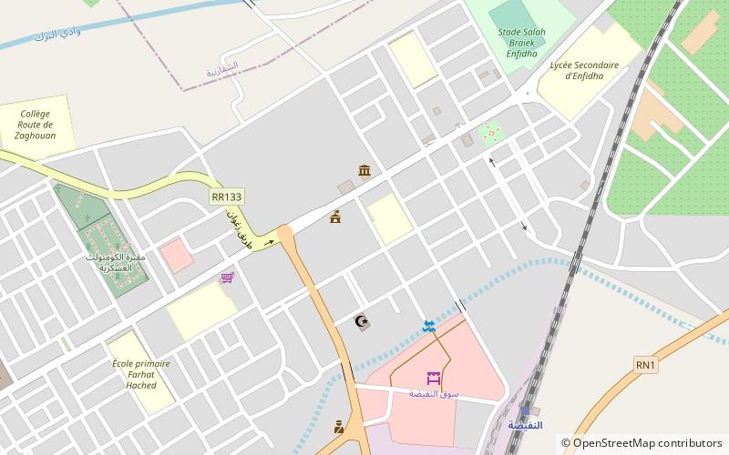
Enfidha is a town in north-eastern Tunisia with a population of approximately 10,000. It is visited by tourists on their way to Takrouna. Enfidha is located at around 36°8′7″N 10°22′51″E. It lies on the railway between Tunis and Sousse, approximately 45 km northeast of Sousse and a few kilometres inland from the Gulf of Hammamet. The nearby Enfidha – Hammamet International Airport opened in 2009, serving charter flights from several European countries. ()
Location
Sousse
ContactAdd
Social media
Add
Day trips
Enfidha – popular in the area (distance from the attraction)
Nearby attractions include: Takrouna.
