Manisa relief, Manisa

Gallery (1)
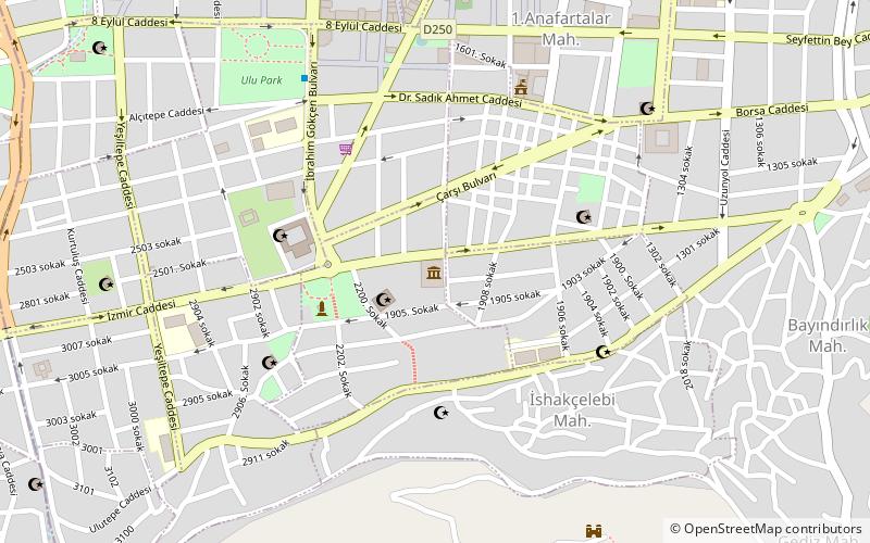
Map
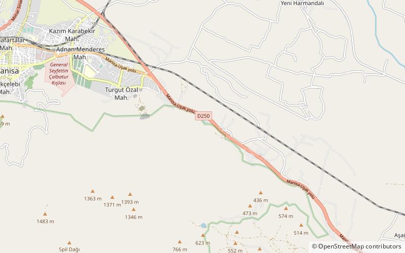
Map
Facts and practical information
The Manisa relief, also known as the Akpınar relief and the Cybele relief, is a Hittite rock relief at Akpınar, about 5 km east of the Turkish provincial capital of Manisa above an amusement park on the road to Salihli. It depicts a Hittite divinity. Rock reliefs are a prominent aspect of Hittite art. ()
Coordinates: 38°35'52"N, 27°30'0"E
Address
Manisa
ContactAdd
Social media
Add
Day trips