Bosporus overhead line crossings, Istanbul
Map

Gallery

Facts and practical information
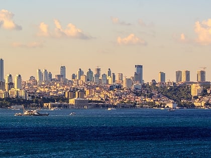
Bosporus overhead line crossings refers to the three transmission line crossings of the Bosporus, the strait in Istanbul, Turkey. ()
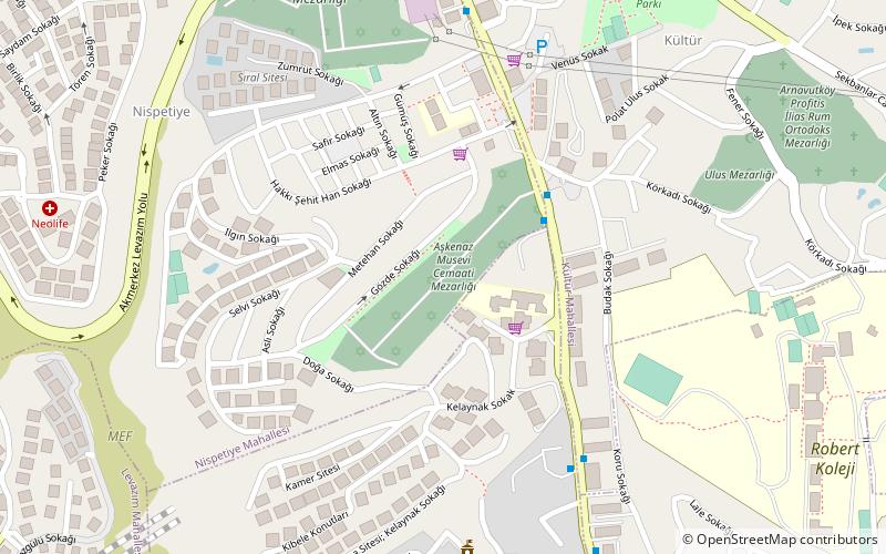
Local name: İstanbul Boğazı enerji nakil hatlarıCoordinates: 41°4'21"N, 29°1'46"E
Address
Beşiktaş (Kültür)Istanbul
ContactAdd
Social media
Add
Day trips
Bosporus overhead line crossings – popular in the area (distance from the attraction)
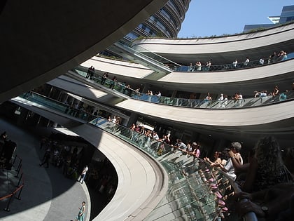
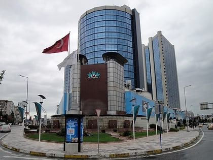
Nearby attractions include: Kanyon, MetroCity, Akmerkez, Zorlu Center.
Frequently Asked Questions (FAQ)
Which popular attractions are close to Bosporus overhead line crossings?
Nearby attractions include Ulus Sephardi Jewish Cemetery, Istanbul (4 min walk), Ulus Ashkenazi Jewish Cemetery, Istanbul (6 min walk), Arnavutköy, Istanbul (18 min walk), Zorlu PSM, Istanbul (20 min walk).
How to get to Bosporus overhead line crossings by public transport?
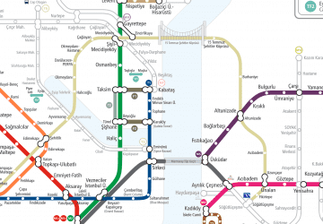
The nearest stations to Bosporus overhead line crossings:
Bus
Metro
Bus
- Talim Yeri • Lines: Dt2 (3 min walk)
- Turizm Sitesi • Lines: Dt2 (4 min walk)
Metro
- Nispetiye • Lines: M6 (12 min walk)
- Etiler • Lines: M6 (21 min walk)

 Metro
Metro