Yavuz Selim Mosque, Istanbul
Map
Gallery
Facts and practical information
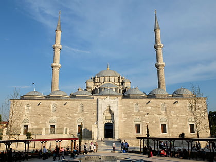
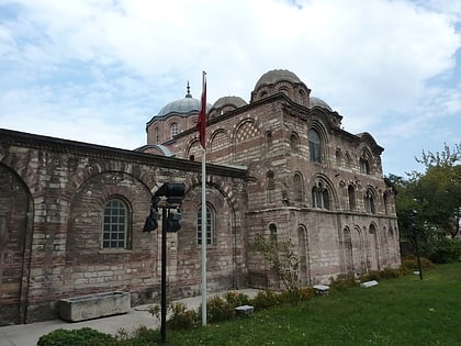
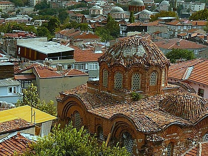
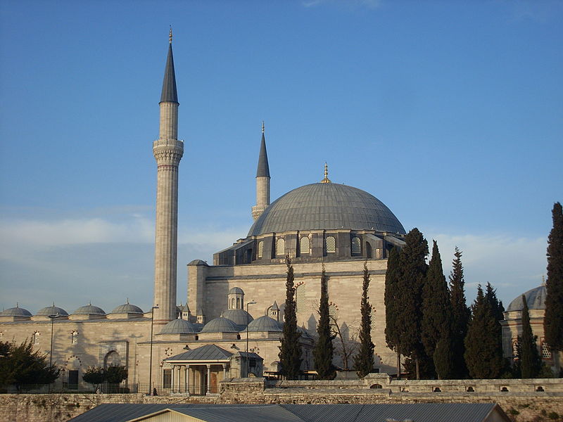
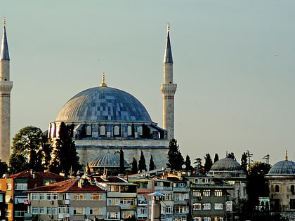
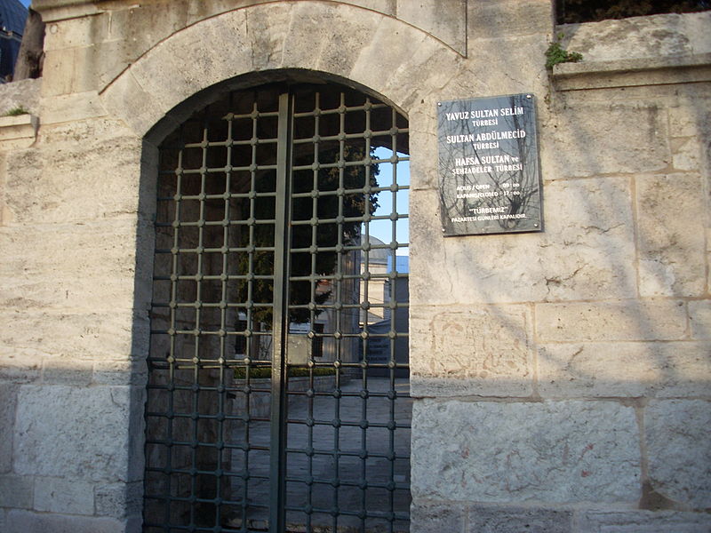
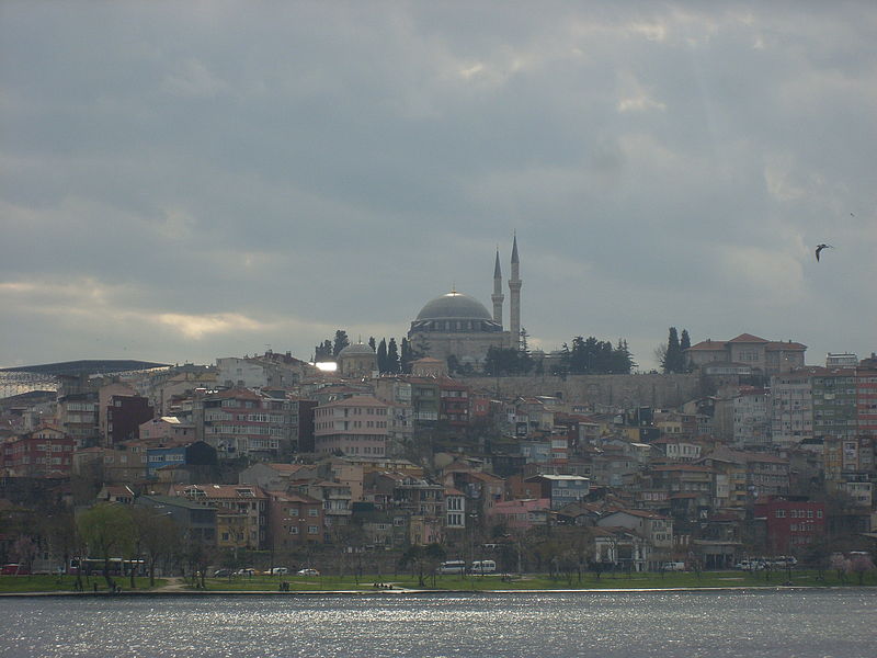
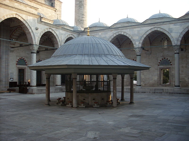
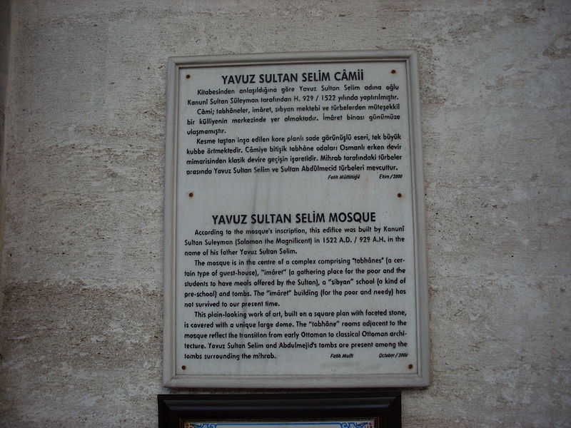
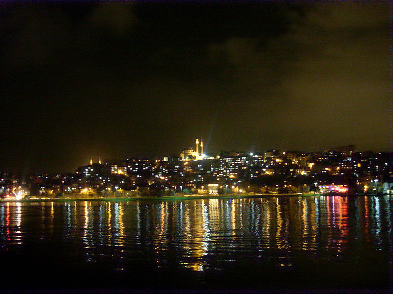
The Yavuz Selim Mosque, also known as the Selim I Mosque and the Yavuz Sultan Selim Mosque is a 16th-century Ottoman imperial mosque located at the top of the 5th Hill of Istanbul, Turkey, in the neighborhood of Çukurbostan, overlooking the Golden Horn. Its size and geographic position make it a familiar landmark on the Istanbul skyline. ()
Local name: Yavuz Selim Camii Completed: 1527 (499 years ago)Architectural style: Ottoman architectureMinaret height: 148 ftCoordinates: 41°1'36"N, 28°57'5"E
Address
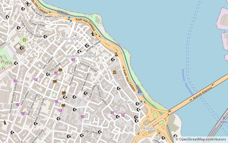
Balat Mah. Sultan Selim Cad. No: 18Fatih (Balat)Istanbul 34087
ContactAdd
Social media
Add
Day trips
Yavuz Selim Mosque – popular in the area (distance from the attraction)
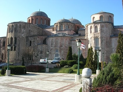
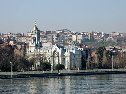
Nearby attractions include: Spice Bazaar, Fatih Mosque, Zeyrek Mosque, Bulgarian St. Stephen Church.
Frequently Asked Questions (FAQ)
Which popular attractions are close to Yavuz Selim Mosque?
Nearby attractions include St. George's Cathedral, Istanbul (5 min walk), Fener (5 min walk), Ecumenical Patriarchate of Constantinople, Istanbul (5 min walk), Church of Saint Mary of the Mongols, Istanbul (6 min walk).
How to get to Yavuz Selim Mosque by public transport?
The nearest stations to Yavuz Selim Mosque:
Tram
Bus
Metro
Light rail
Ferry
Tram
- Fener • Lines: T5 (6 min walk)
- Cibali • Lines: T5 (13 min walk)
Bus
- Balat (14 min walk)
- Unkapanı • Lines: 77A (16 min walk)
Metro
- Emniyet - Fatih • Lines: M1A, M1B (23 min walk)
- Aksaray • Lines: M1A, M1B (27 min walk)
Light rail
- Edirnekapı • Lines: T4 (25 min walk)
Ferry
- Eminönü (29 min walk)


 Metro
Metro
