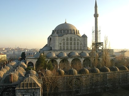
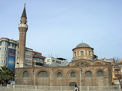
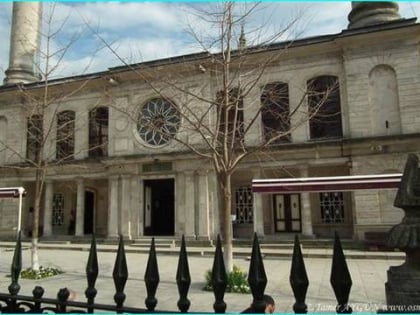
City wall, Istanbul
Map
Gallery
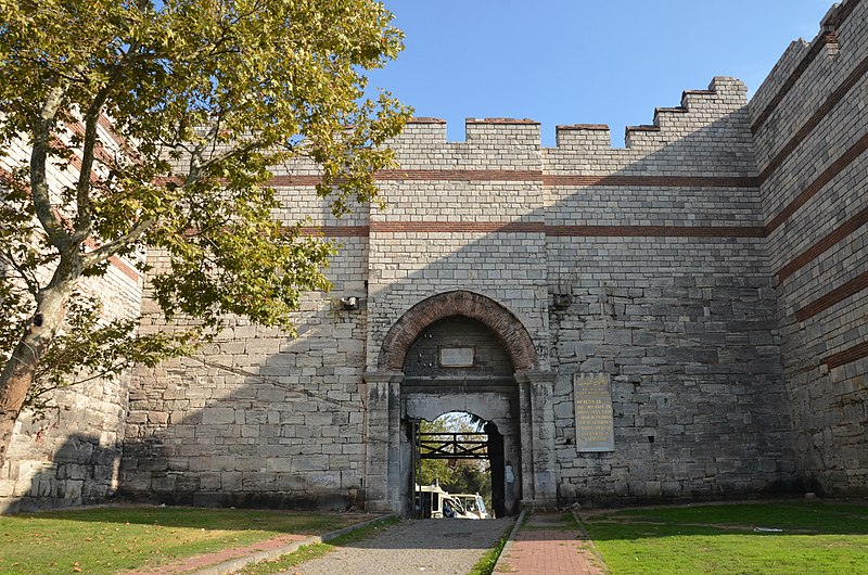
Facts and practical information
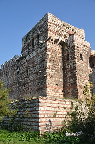
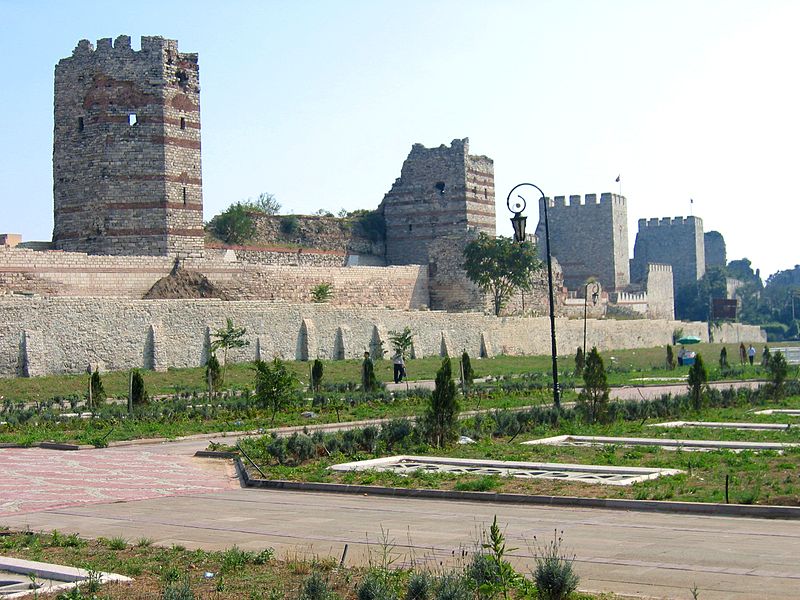
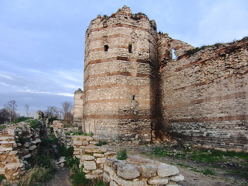
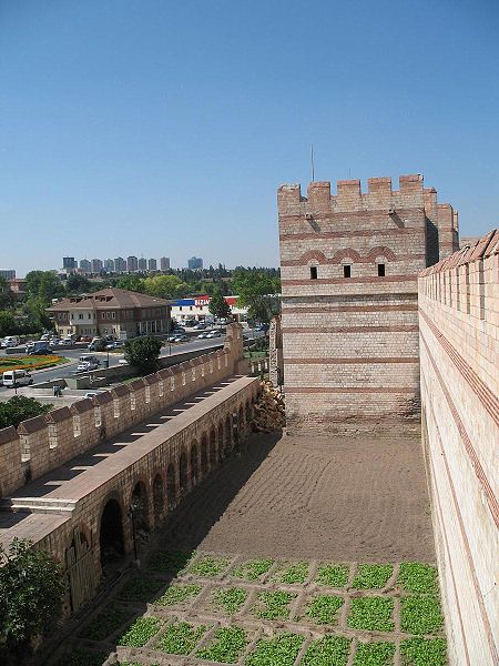
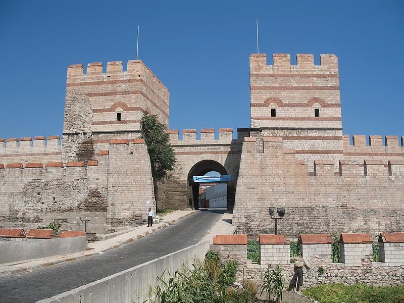
The Walls of Constantinople are a series of defensive stone walls that have surrounded and protected the city of Constantinople since its founding as the new capital of the Roman Empire by Constantine the Great. With numerous additions and modifications during their history, they were the last great fortification system of antiquity, and one of the most complex and elaborate systems ever built. ()
Local name: İstanbul Surları Architectural style: Byzantine architectureCoordinates: 41°1'0"N, 28°55'23"E
Address
Fatih (Mevlanakapi)Istanbul
ContactAdd
Social media
Add
Day trips
City wall – popular in the area (distance from the attraction)
Nearby attractions include: Panorama 1453 History Museum, Hekimoğlu Ali Pasha Mosque, Mihrimah Sultan Mosque, Koca Mustafa Pasha Mosque.
Frequently Asked Questions (FAQ)
Which popular attractions are close to City wall?
Nearby attractions include Merkezefendi Cemetery, Istanbul (4 min walk), Panorama 1453 History Museum, Istanbul (5 min walk), Manastır Mosque, Istanbul (8 min walk), Karagümrük, Istanbul (9 min walk).
How to get to City wall by public transport?
The nearest stations to City wall:
Tram
Light rail
Bus
Metro
Train
Tram
- Pazartekke • Lines: T1 (6 min walk)
- Topkapı • Lines: T1 (7 min walk)
Light rail
- Topkapı • Lines: T4 (7 min walk)
- Edirnekapı • Lines: T4 (30 min walk)
Bus
- Panorama 1453 • Lines: 500T (7 min walk)
- Topkapı (9 min walk)
Metro
- Topkapı Ulubatlı • Lines: M1A, M1B (16 min walk)
- Emniyet - Fatih • Lines: M1A, M1B (22 min walk)
Train
- Koca Mustafa Paşa (33 min walk)



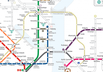 Metro
Metro

