Kağıthane, Istanbul
Map
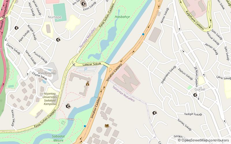
Map

Facts and practical information
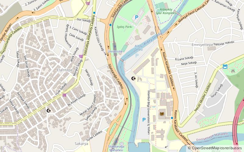
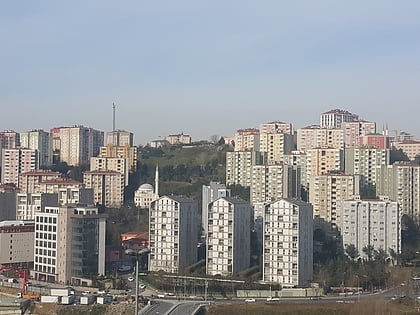
Kâğıthane or Glykà Nerà is an area of Istanbul, Turkey. Formerly a working class district, it has become one of the largest real estate development areas in the city. The district is located on the European side and extends over the shores of Cendere, the stream that discharges into the Golden Horn. The Cendere Valley is surrounded by the Sarıyer, Eyüp, Şişli, Beşiktaş, and Beyoğlu districts. The mayor is Fazlı Kılıç of Ak Parti. Kâğıthane was part of Beyoğlu until 1954 and part of Şişli between 1954 and 1987. ()
Address
Kağıthane (Gürsel)Istanbul
ContactAdd
Social media
Add
Day trips
Kağıthane – popular in the area (distance from the attraction)
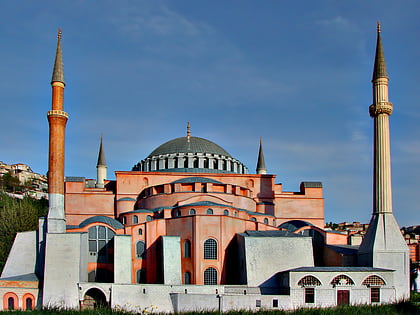
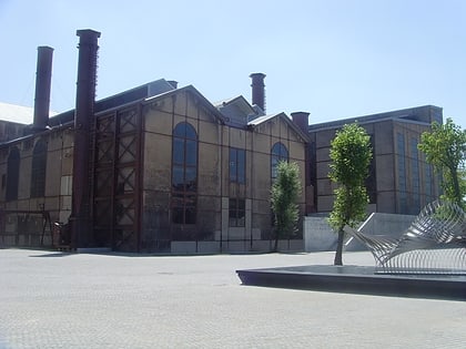
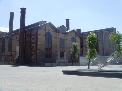
Nearby attractions include: Miniatürk, Silahtarağa Power Station, Santralistanbul, Fil Bridge.
Frequently Asked Questions (FAQ)
How to get to Kağıthane by public transport?
The nearest stations to Kağıthane:
Bus
Metro
Tram
Bus
- Nurtepe Viyadük • Lines: 500T (14 min walk)
- Kağıthane Garajı (15 min walk)
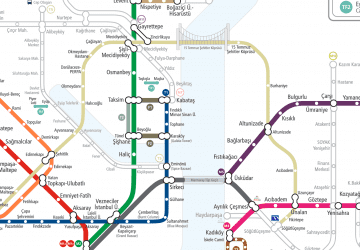
Metro
- Nurtepe • Lines: M7 (15 min walk)
- Kağıthane • Lines: M7 (17 min walk)
Tram
- Alibeyköy Metro • Lines: T5 (26 min walk)
 Metro
Metro