Konak, Izmir


Facts and practical information
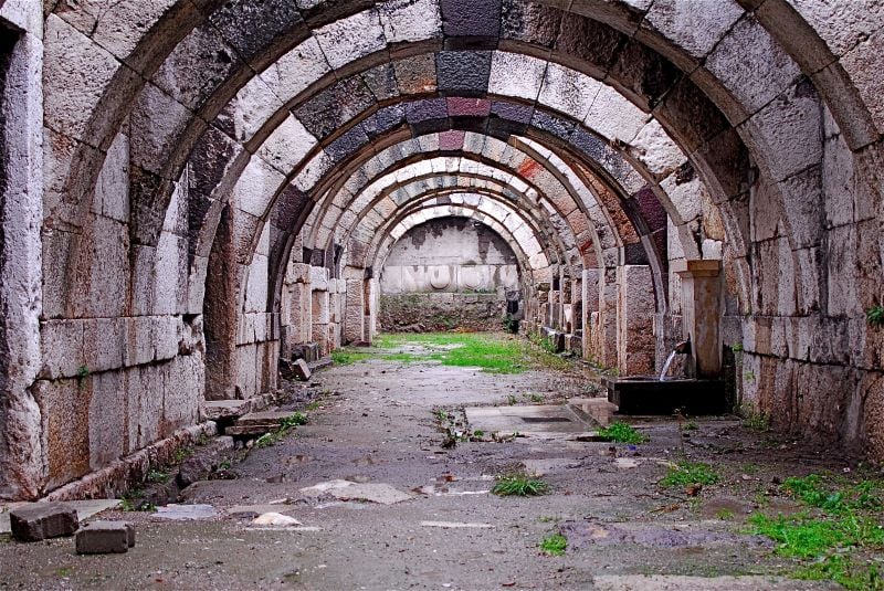
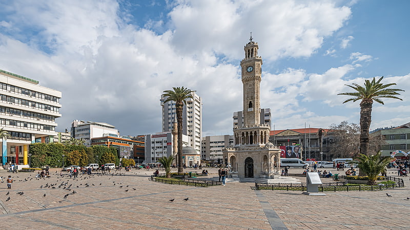
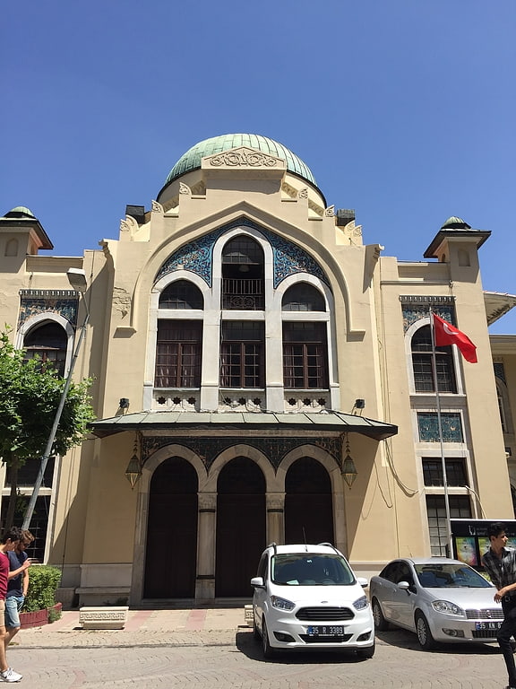
Konak is a district of İzmir Province in Turkey. It is the most densely populated of the eleven main urban districts of İzmir, and has historically acted as the administrative and economic core of the city. Situated in an area that roughly corresponds to the geographic center of İzmir, Konak extends for 11.4 kilometres along the southern coastline of the Gulf of İzmir. A long panhandle that the district area draws in the direction of the southwest, on the other hand, also covers a large rural area, mostly covered with mountains and forests, and two isolated villages. Konak district area neighbors the district areas of Bornova to the east, Balçova to the west and Buca and Gaziemir to the south, all of which are also among İzmir's metropolitan districts. Konak center is connected to other districts of İzmir and beyond by a dense network of roads and railroads, as well as by a subway line currently being largely extended and by ferry services to Karşıyaka. Konak is a very active hub of industry, trade, commerce and services, with the number of companies exceeding sixty thousand and its exports nearing two billion US Dollars in 2006. ()
- Metro
- Bus
- Tram
- Train
- Ferry
 Metro
Metro
- Calculate routeKestelli 5 min walk
- Calculate routeMezarlık Başı 6 min walk
- Calculate routeKavaflar 8 min walk
- Calculate routeİskele 10 min walk
- Calculate routeÇankaya 8 min walk
- Calculate routeKonak 10 min walk
- Calculate routeBasmane 17 min walk
- Calculate routeÜçyol 29 min walk
- Calculate routeKonak İskele 11 min walk
- Calculate routeGazi Bulvarı 11 min walk
- Calculate routeKültürpark-Atatürk Lisesi 22 min walk
- Calculate routeKarataş 26 min walk
- Calculate routeKonak Vapur İskelesi 14 min walk
- Calculate routePasaport Vapur İskelesi 19 min walk
- Calculate routeBasmane Garı 15 min walk
- Calculate routeTarihi Kemer Tren İstasyonu 30 min walk
- Calculate routeKemer Tren İstasyonu 30 min walk
- Calculate routeHilal 31 min walk


Frequently Asked Questions (FAQ)
Which popular attractions are close to Konak?
How to get to Konak by public transport?
Bus
- Kestelli • Lines: 171 (5 min walk)
- Mezarlık Başı • Lines: 255, 70 (6 min walk)
Metro
- Çankaya • Lines: M1 (8 min walk)
- Konak • Lines: M1 (10 min walk)
Tram
- Konak İskele • Lines: T2 (11 min walk)
- Gazi Bulvarı • Lines: T2 (11 min walk)
Ferry
- Konak Vapur İskelesi (14 min walk)
- Pasaport Vapur İskelesi (19 min walk)
Train
- Basmane Garı (15 min walk)
- Tarihi Kemer Tren İstasyonu (30 min walk)