Ahırkapı Feneri, Istanbul
Map
Map

Facts and practical information
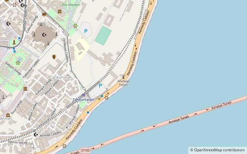
The Ahırkap Feneri, a historical lighthouse still in use, is located at the southern Seraglio Point on the Rumelian coast of Bosporus' south entrance, in Ahırkapı neighborhood of Istanbul's Fatih district, Turkey. It is across from the Kadıköy İnciburnu Feneri, which is on the Anatolian coast of the strait at a distance of 1.5 nmi. A line connecting the two lighthouses marks the southern boundary of the Port of Istanbul. ()
Address
Kennedy Cad. AhırkapıFatih (Cankurtaran)Istanbul
ContactAdd
Social media
Add
Day trips
Ahırkapı Feneri – popular in the area (distance from the attraction)
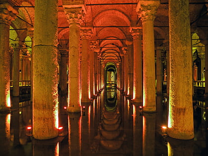
Nearby attractions include: Topkapı Palace, Hagia Sophia, Blue Mosque, Basilica Cistern.
Frequently Asked Questions (FAQ)
Which popular attractions are close to Ahırkapı Feneri?
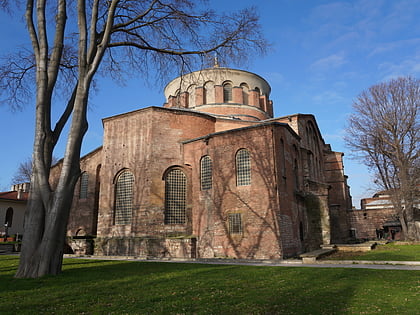
Nearby attractions include Hodegon Monastery, Istanbul (5 min walk), Fountain of Ahmed III, Istanbul (7 min walk), Hagia Sophia, Istanbul (9 min walk), Hagia Irene, Istanbul (9 min walk).
How to get to Ahırkapı Feneri by public transport?
The nearest stations to Ahırkapı Feneri:
Train
Tram
Bus
Ferry
Train
- Cankurtaran (5 min walk)
- Sirkeci Marmaray Underground Station (18 min walk)
Tram
- Sultanahmet Station • Lines: T1 (14 min walk)
- Gülhane • Lines: T1 (14 min walk)
Bus
- Havalimani Transfer (22 min walk)
- Havataş transfer (22 min walk)
Ferry
- Eminonu Iskelesi (26 min walk)
- Eminönü (30 min walk)

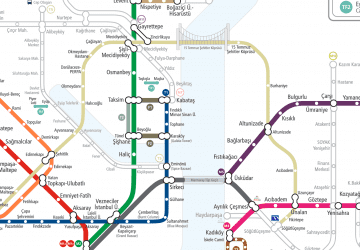 Metro
Metro