Aksaray, Istanbul
Map
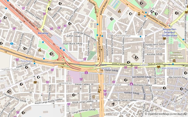
Map

Facts and practical information
Aksaray is a neighborhood in Istanbul, Turkey. Aksaray is a part of the district of Fatih. It is so named because it was founded by migrants from Aksaray in central Turkey, deported there in the 15th century by Mehmet II to repopulate the city after the its conquest. It also borders the neighborhood of Eminönü around the Pertevniyal Valide Sultan Mosque. Aksaray has a modern appearance, with many hotels and shops, mostly active in trade with Russia and Romania. ()
Address
Fatih (Iskenderpaşa)Istanbul
ContactAdd
Social media
Add
Day trips
Aksaray – popular in the area (distance from the attraction)
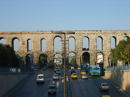
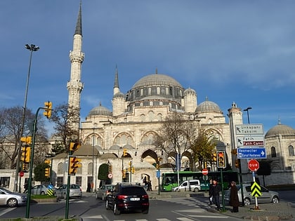
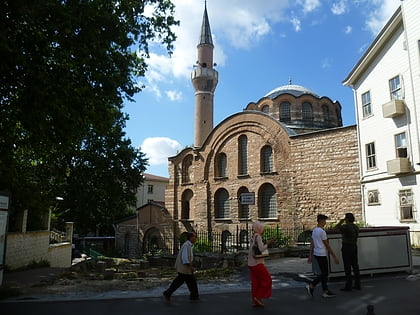
Nearby attractions include: Valens Aqueduct, Şehzade Mosque, Kalenderhane Mosque, Pertevniyal Valide Sultan Mosque.
Frequently Asked Questions (FAQ)
Which popular attractions are close to Aksaray?
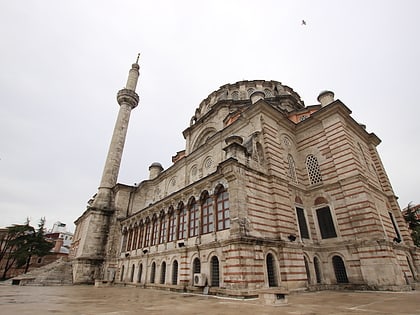
Nearby attractions include Pertevniyal Valide Sultan Mosque, Istanbul (1 min walk), Laleli Mosque, Istanbul (5 min walk), Bodrum Mosque, Istanbul (5 min walk), Lâleli (7 min walk).
How to get to Aksaray by public transport?
The nearest stations to Aksaray:
Tram
Bus
Metro
Train
Ferry
Tram
- Aksaray • Lines: T1 (2 min walk)
- Yusufpaşa • Lines: T1 (9 min walk)
Bus
- Aksaray (5 min walk)
- Şehzadebaşı • Lines: 77A (9 min walk)
Metro
- Aksaray • Lines: M1A, M1B (8 min walk)
- Yenikapı • Lines: M1A, M1B, M2 (9 min walk)
Train
- Yenikapı (9 min walk)
- Kumkapi (19 min walk)
Ferry
- Eminönü (29 min walk)
- Eminonu Iskelesi (32 min walk)

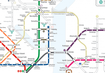 Metro
Metro