Devegeçidi Dam
Map

Map

Facts and practical information
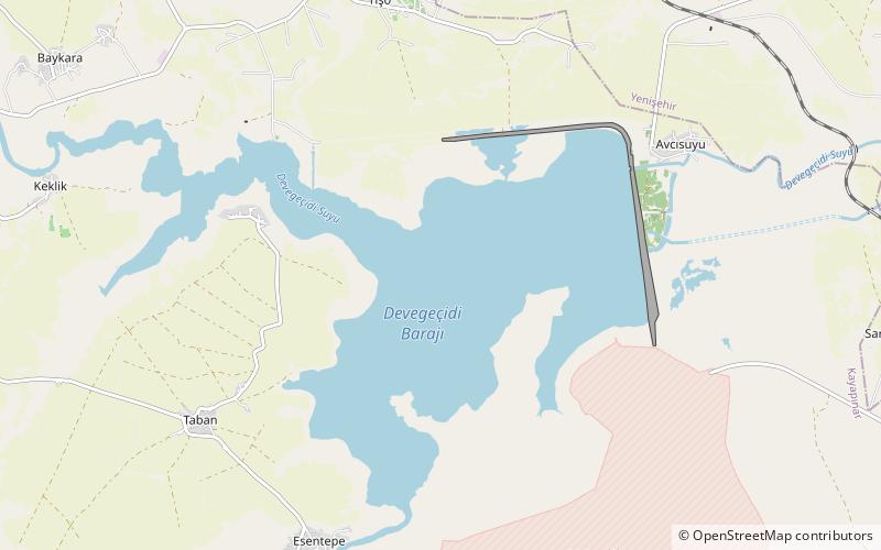
Devegeçidi Dam is one of the 22 dams of the Southeastern Anatolia Project of Turkey, Diyarbakır. It is near Diyarbakır on a branch of the Tigris river. It was constructed for irrigation purposes between 1965 and 1972. ()
Local name: Devegeçidi Barajı Opened: 1972 (54 years ago)Length: 4.16 miHeight: 108 ftReservoir area: 11.58 mi²Coordinates: 38°3'13"N, 39°57'19"E
Location
Diyarbakir
ContactAdd
Social media
Add
