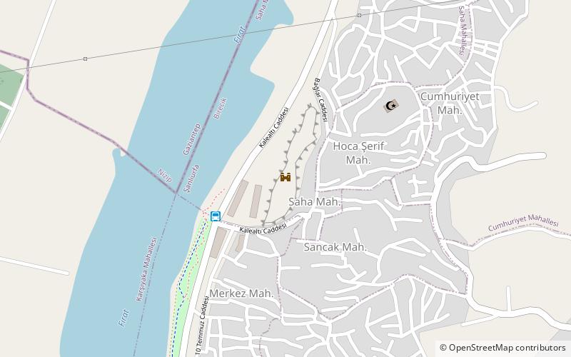
Birecik Kalesi, Birecik

Gallery (1)
Map
Map
Facts and practical information
Birecik Kalesi (address: Cumhuriye Mah.) is a place located in Birecik (Sanliurfa province) and belongs to the category of forts and castles.
It is situated at an altitude of 1184 feet, and its geographical coordinates are 37°1'57"N latitude and 37°58'47"E longitude.
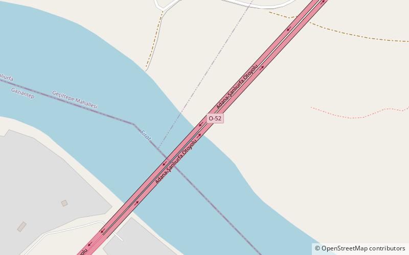
Among other places and attractions worth visiting in the area are: Birecik Bridge (bridge, 19 min walk), Euphrates Viaduct (bridge, 109 min walk), Apamea (city, 148 min walk).
Coordinates: 37°1'57"N, 37°58'47"E
Address
Cumhuriye Mah.Birecik 63400
ContactAdd
Social media
Add
Day trips