Levent, Istanbul
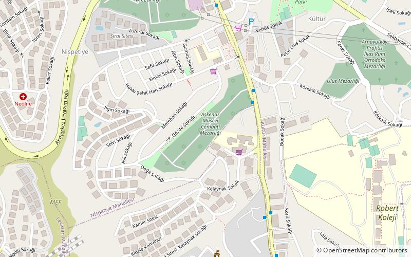
Map
Gallery
Facts and practical information
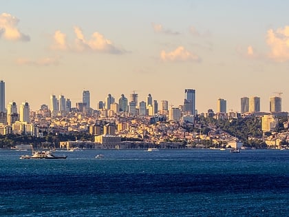
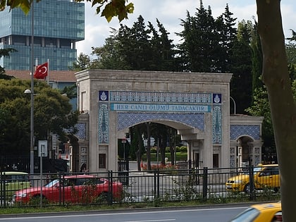
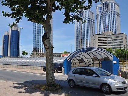
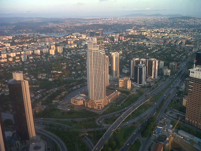
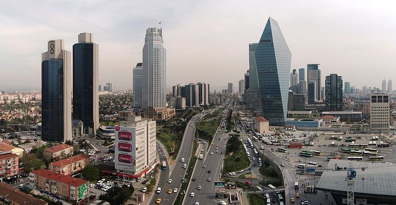
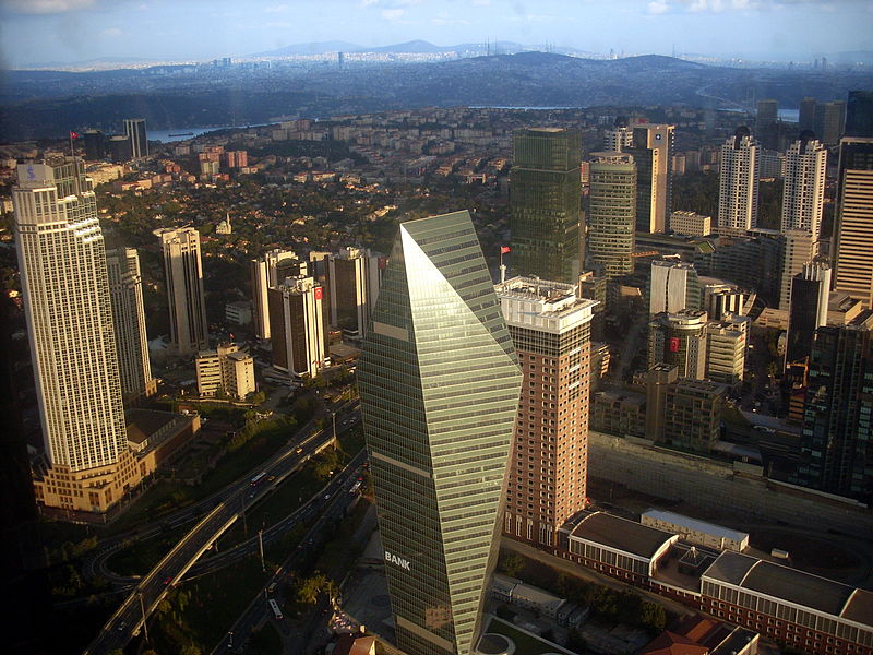
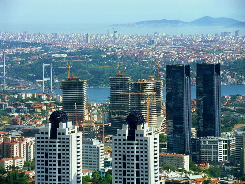
Levent is a neighbourhood and one of the main business districts of Istanbul, Turkey, located on the European side of the city. It is a part of the municipality of Beşiktaş and is situated to the north of the Golden Horn, at the western shore of the Bosphorus strait. ()
Address
Beşiktaş (Levent)Istanbul
ContactAdd
Social media
Add
Day trips
Levent – popular in the area (distance from the attraction)
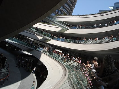
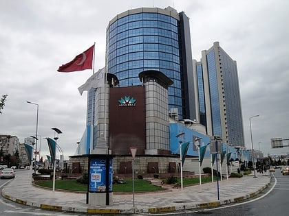
Nearby attractions include: Kanyon, MetroCity, Akmerkez, Zorlu Center.
Frequently Asked Questions (FAQ)
Which popular attractions are close to Levent?
Nearby attractions include Isbank Tower 1, Istanbul (8 min walk), Sabancı Center, Istanbul (12 min walk), Akatlar, Istanbul (13 min walk), Istanbul Sapphire, Istanbul (16 min walk).
How to get to Levent by public transport?
The nearest stations to Levent:
Metro
Bus
Metro
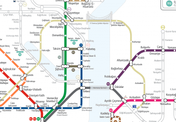
- Levent • Lines: M2, M6 (10 min walk)
- Nispetiye • Lines: M6 (12 min walk)
Bus
- 4. Levent Metro (15 min walk)
- 4. Levent • Lines: 500T (16 min walk)



 Metro
Metro